


Train
Prepare
Connect
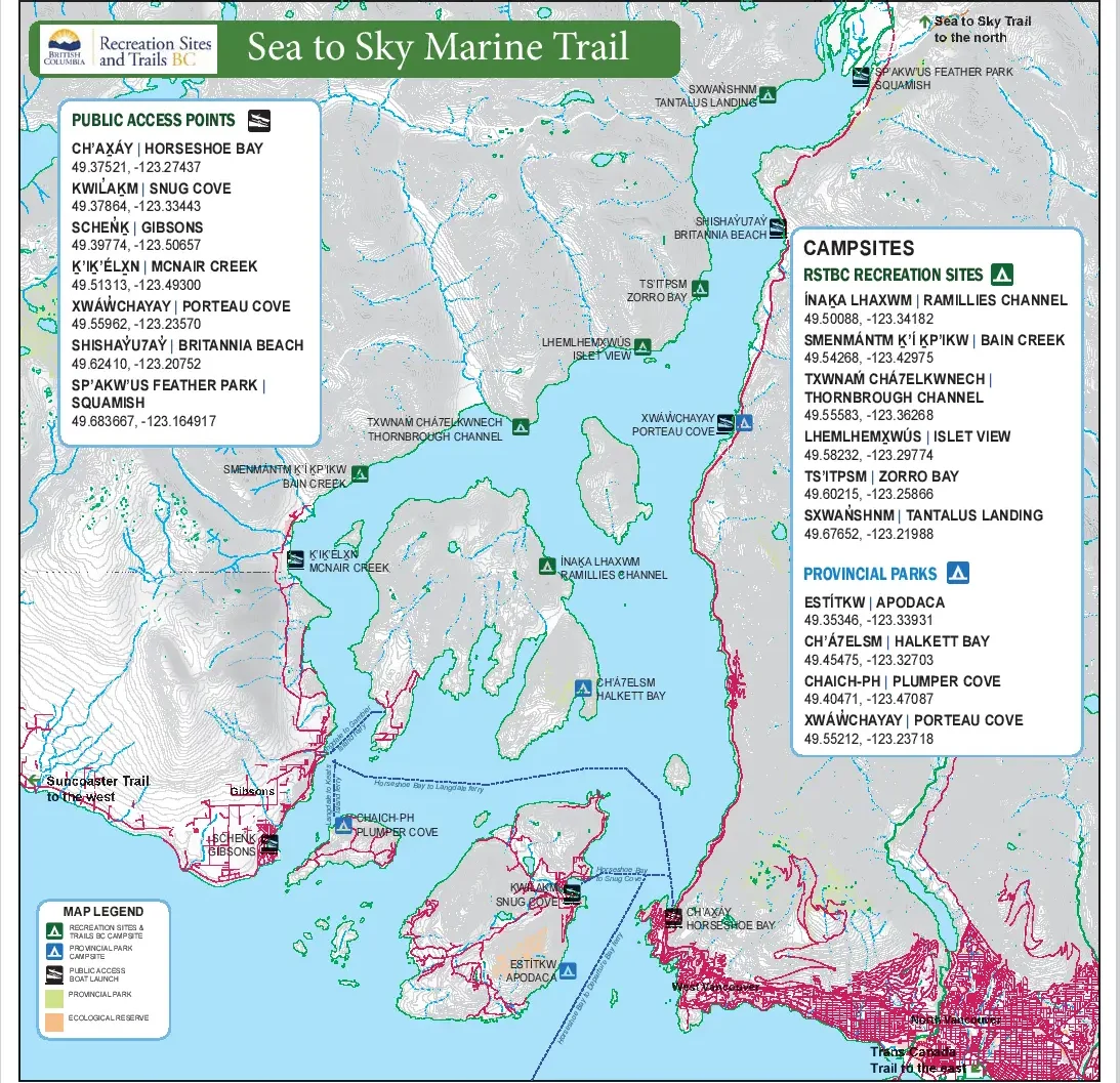
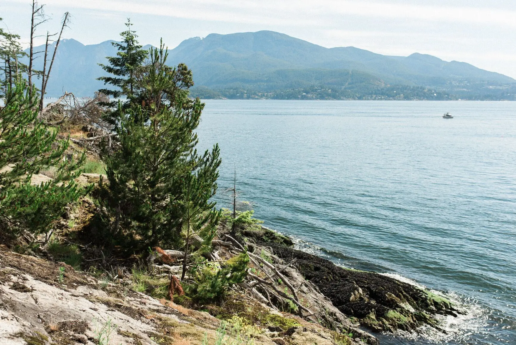
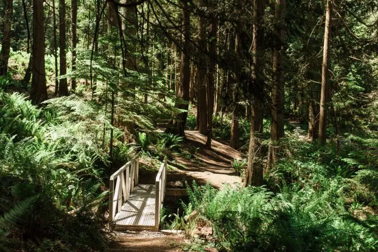
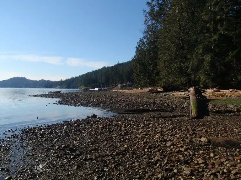
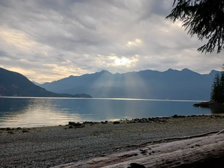
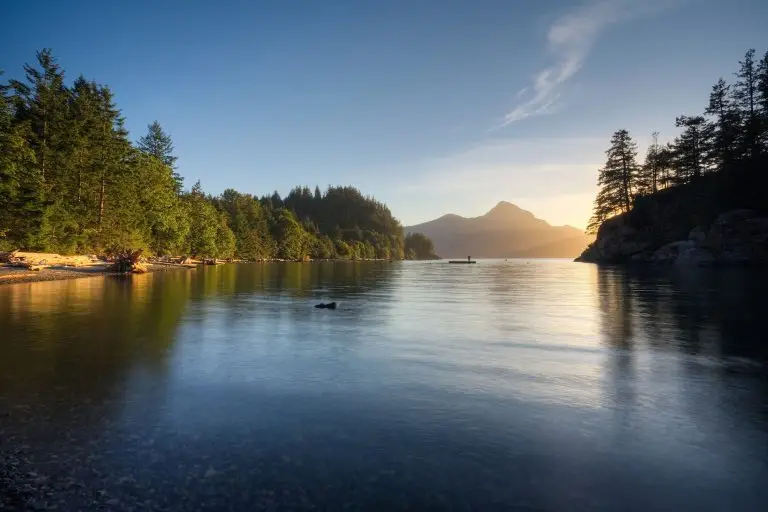
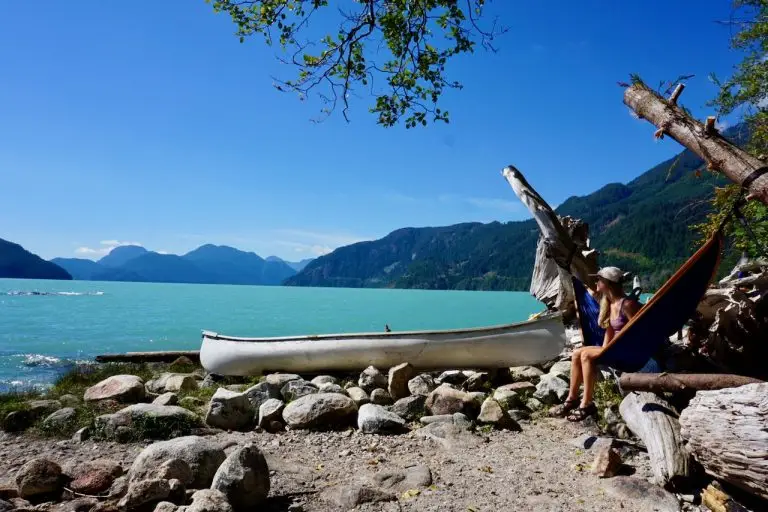
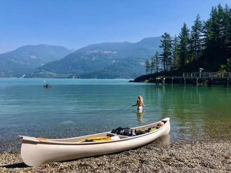
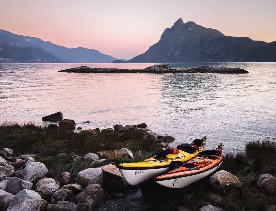
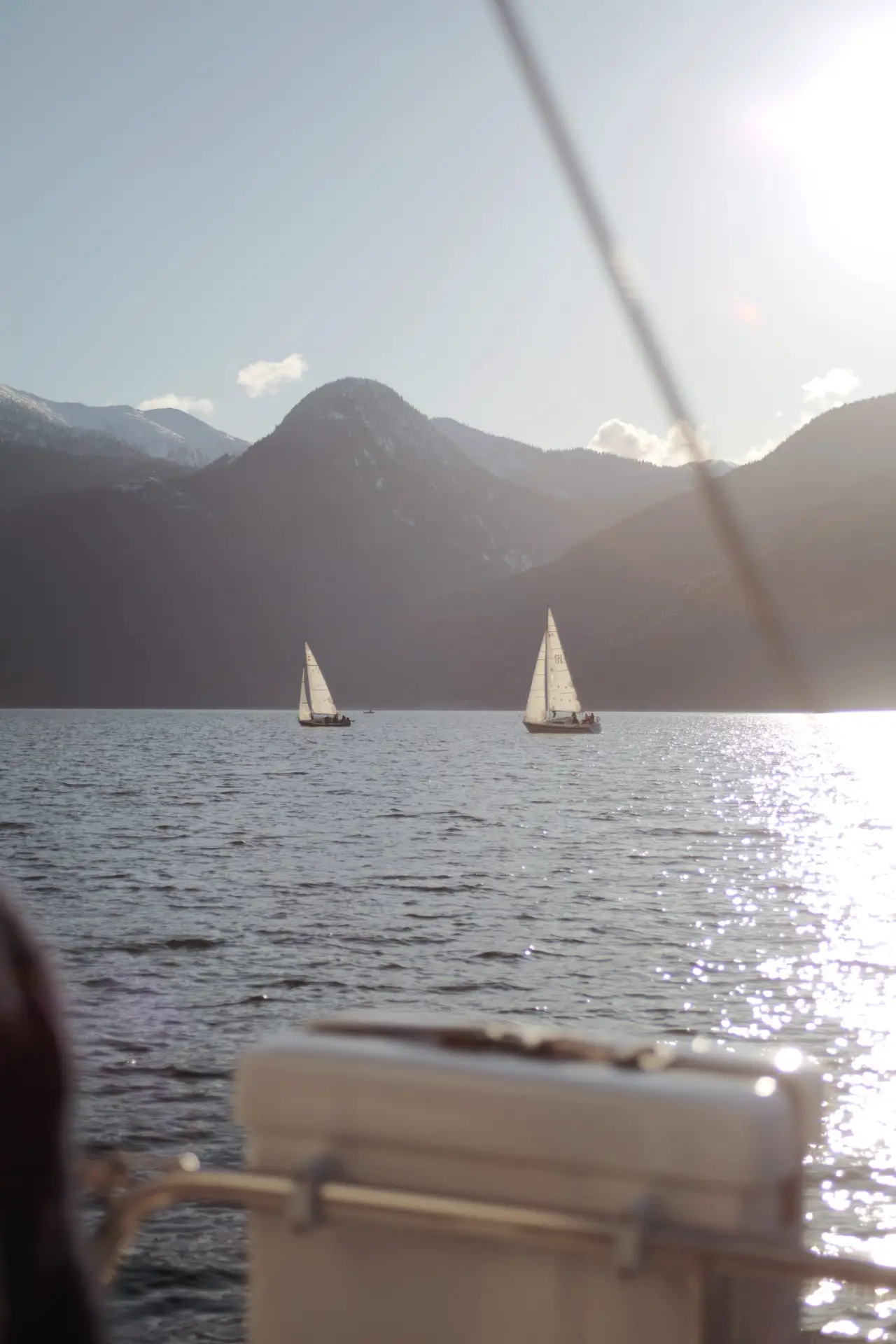
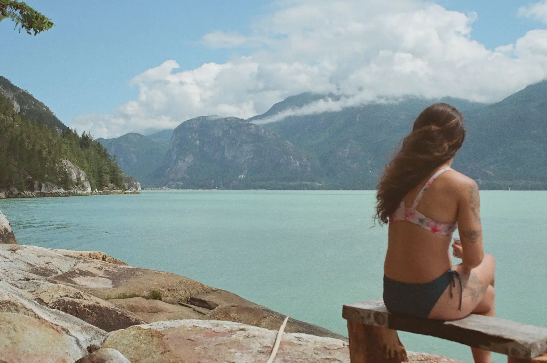
The STSMT is part of two major trail networks in Canada: the Trans Canada Trail and BC Marine Trails. Officially opened in June 2015, the STSMT was developed to bridge the gap between the Sea-to-Sky Trail’s southern terminus in Squamish and the Trans Canada Trail in West Vancouver. Due to challenging terrain along the eastern side of Howe Sound, which features steep cliffs, a railway, and a highway, creating a land-based connection proved difficult. Additionally, the Howe Sound Crest Trail was deemed too strenuous, making a water route the best alternative.
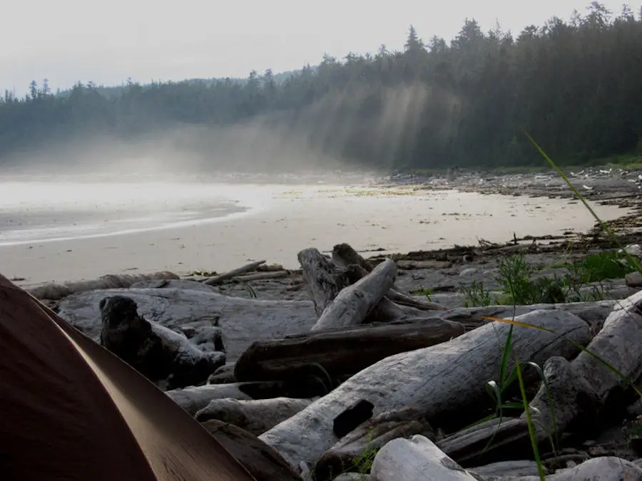
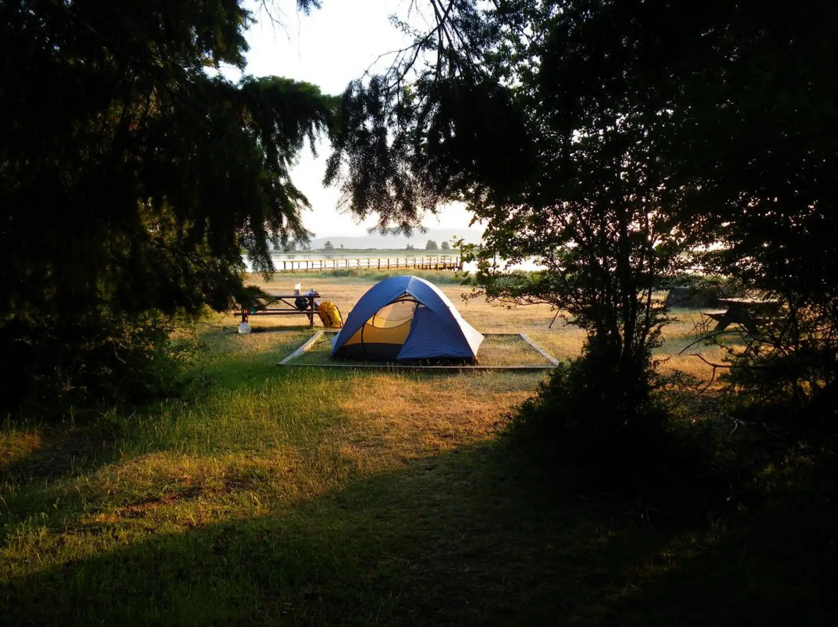
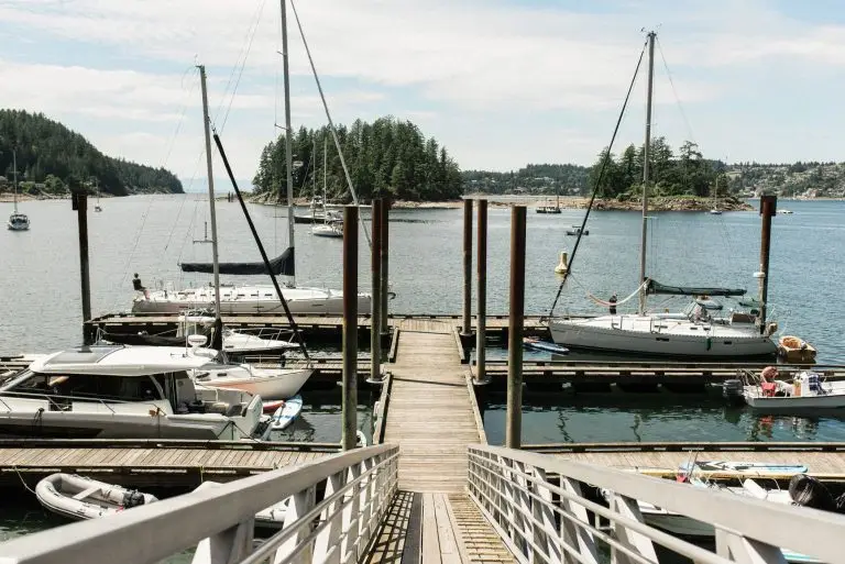
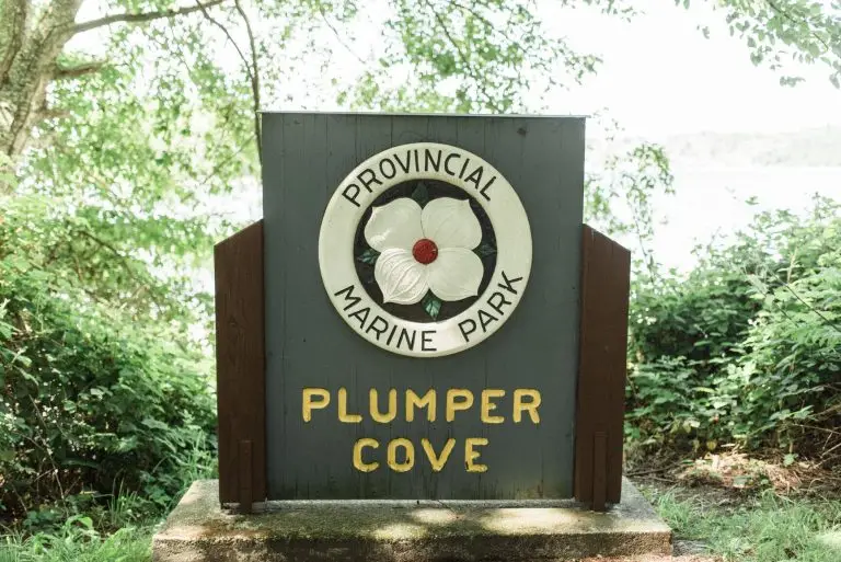
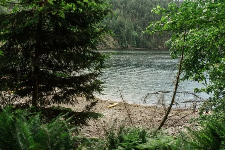
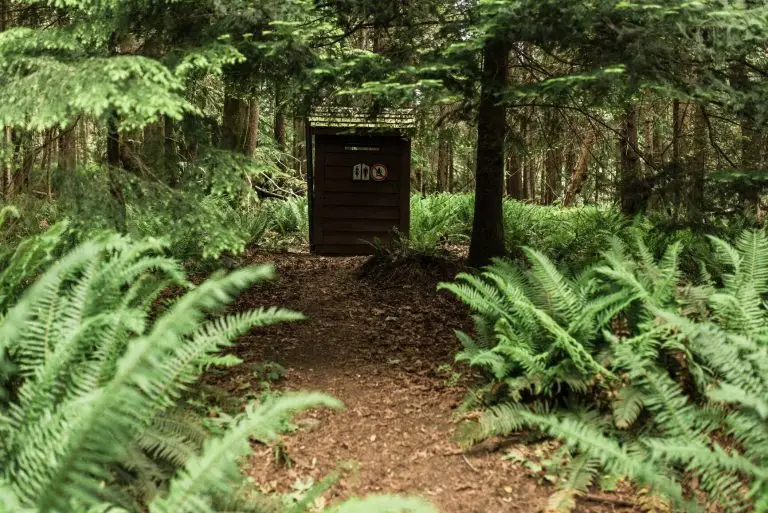
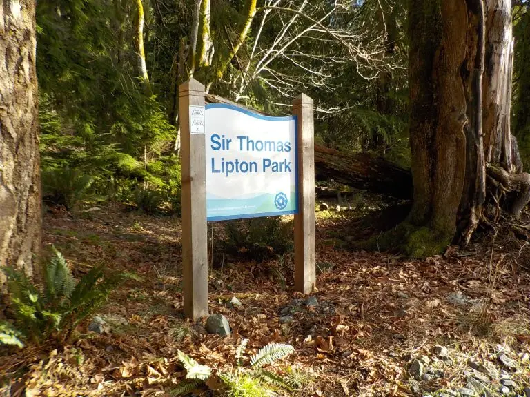
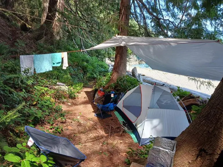
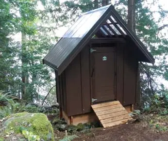
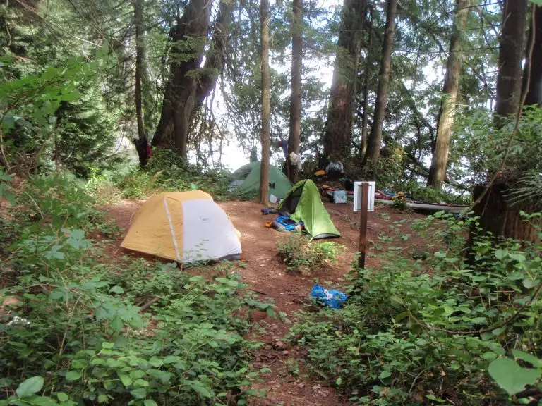
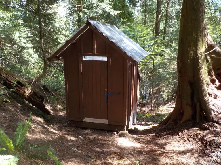
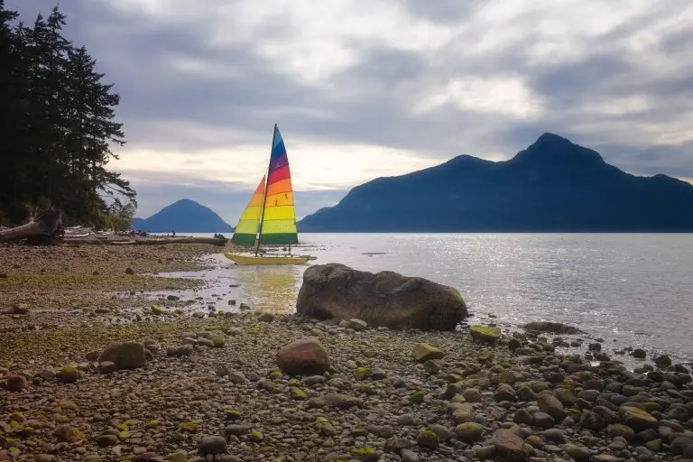
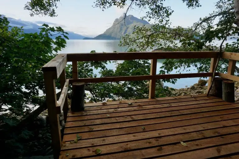
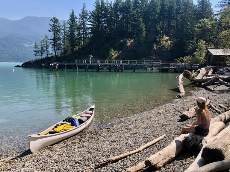
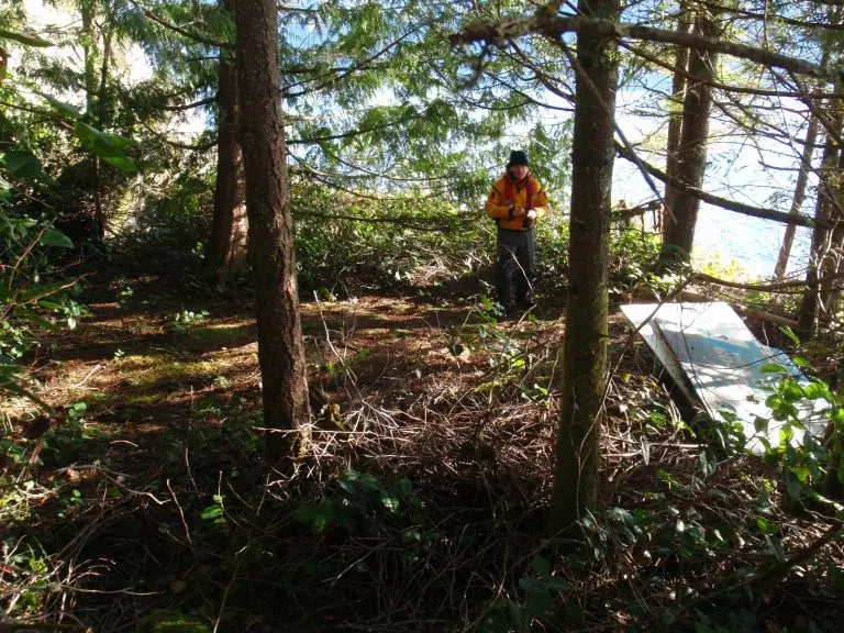
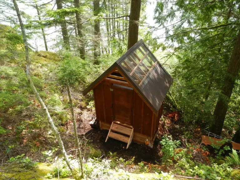
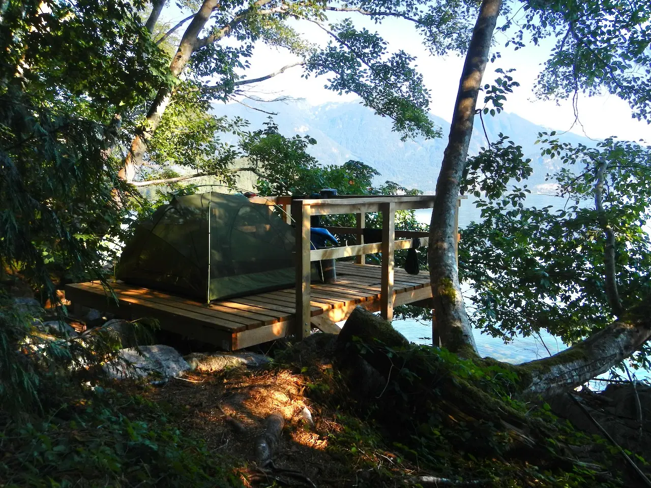
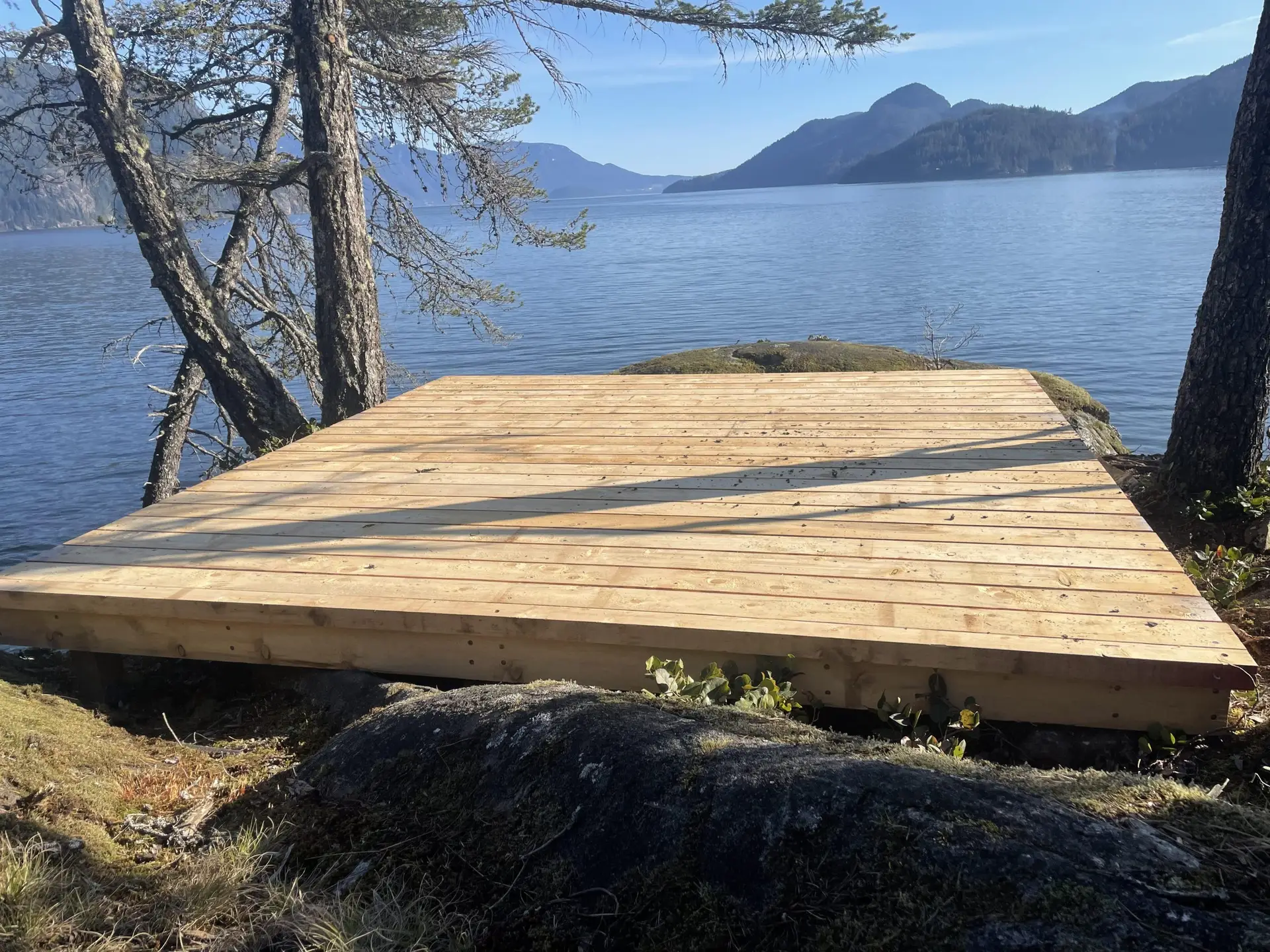
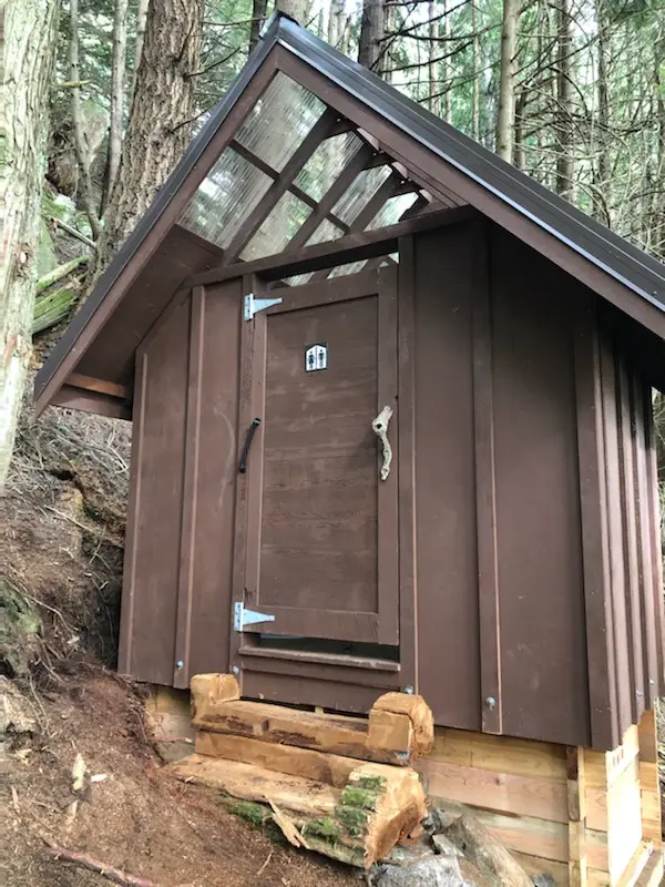
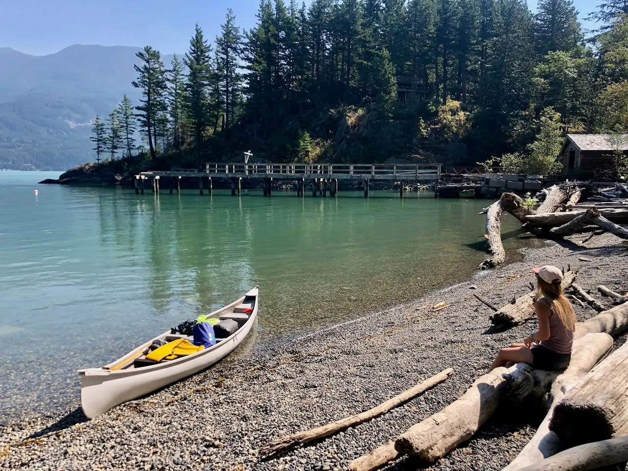
The project was a collaborative effort involving BC Marine Trails members and the Sea Kayak Association of BC (SKABC), who surveyed sites, cleared trails, and established landing and camping areas. Thanks to the dedicated work of volunteers, all recreational sites along the route have been equipped with composting toilets. Apodaca Provincial Park, now part of the STSMT and the Salish Sea Marine Trail, features four tent platforms and a composting toilet, enhancing the experience for paddlers and outdoor enthusiasts.
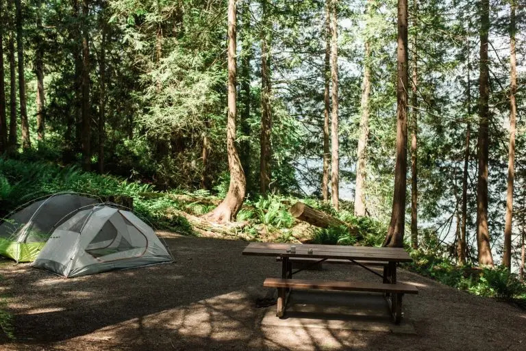
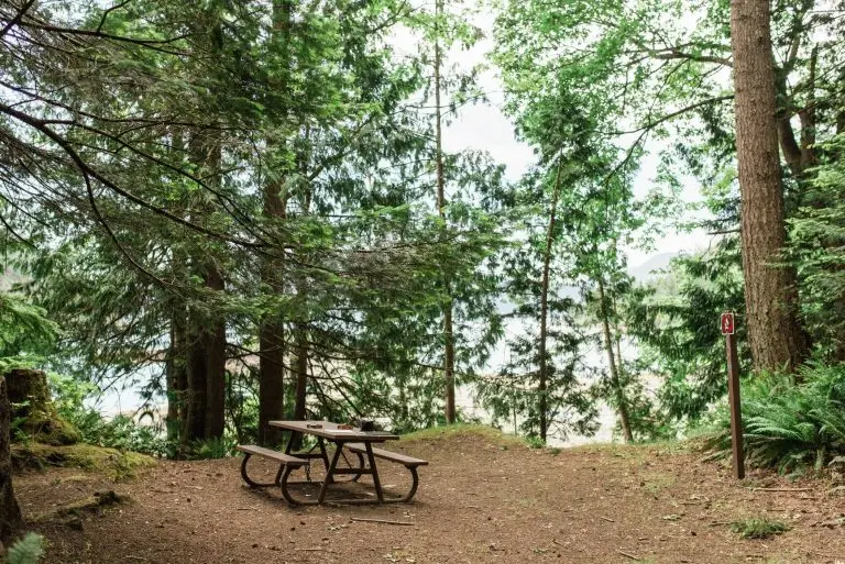
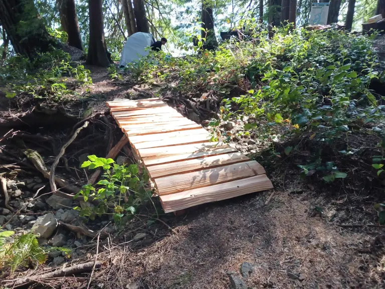
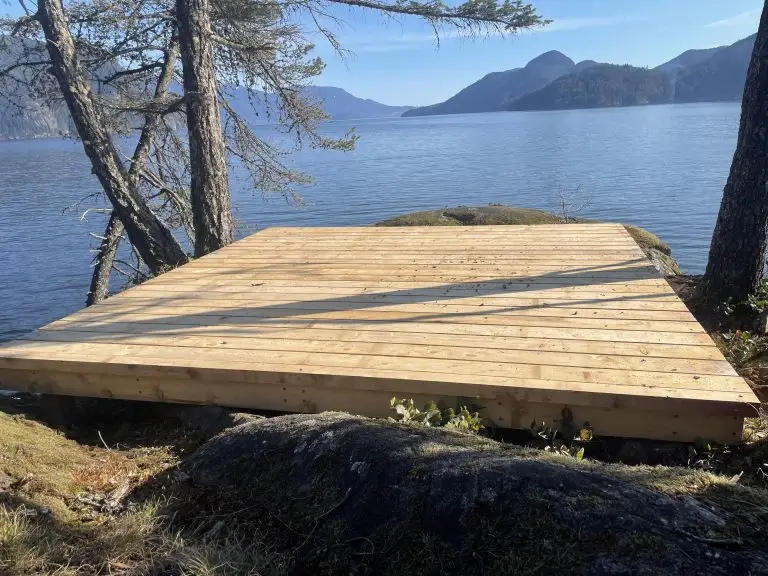
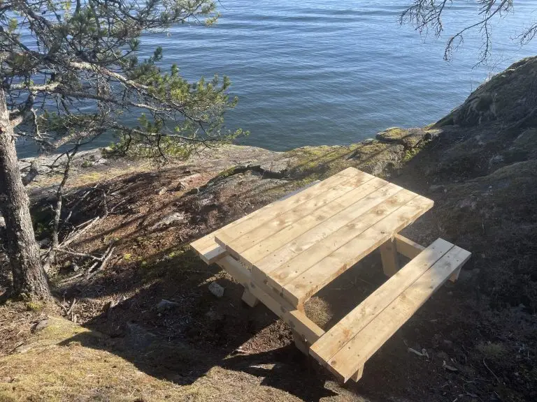
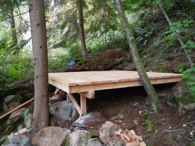
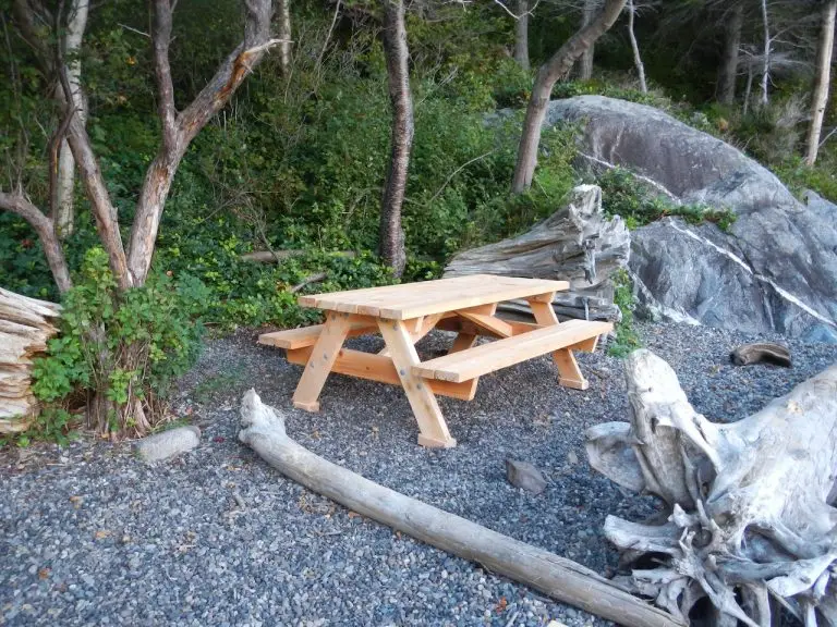
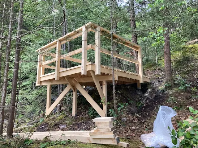
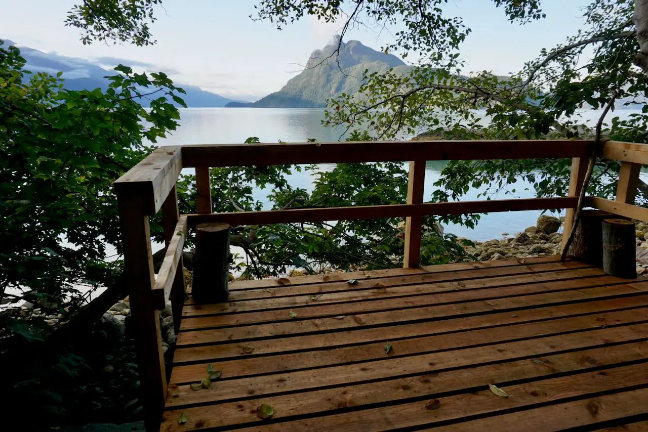
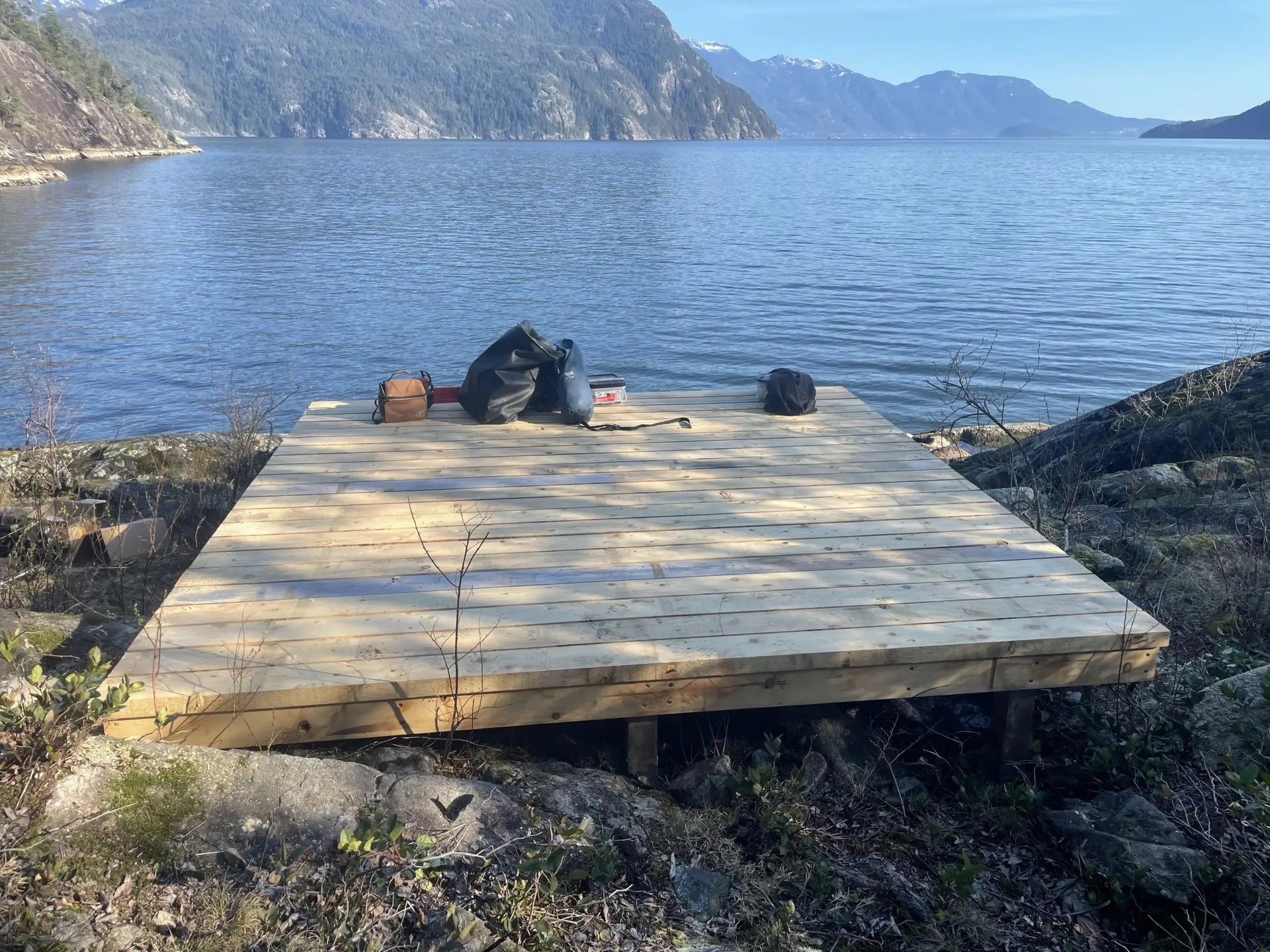
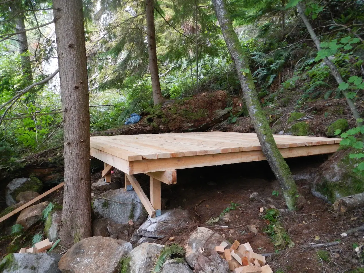
In the spring and fall of 2024, new tent platforms, tables, and bear caches were installed jointly between BCMT, SKABC, and RSTBC at multiple sites along the trail.