Getting there
North Vancouver Island is approximately a 5-hour drive from Nanaimo or the ferry at Departure Bay. You can launch at several locations depending on whether you are completing the whole Cape Scott Marine Trail or accessing a part of it.
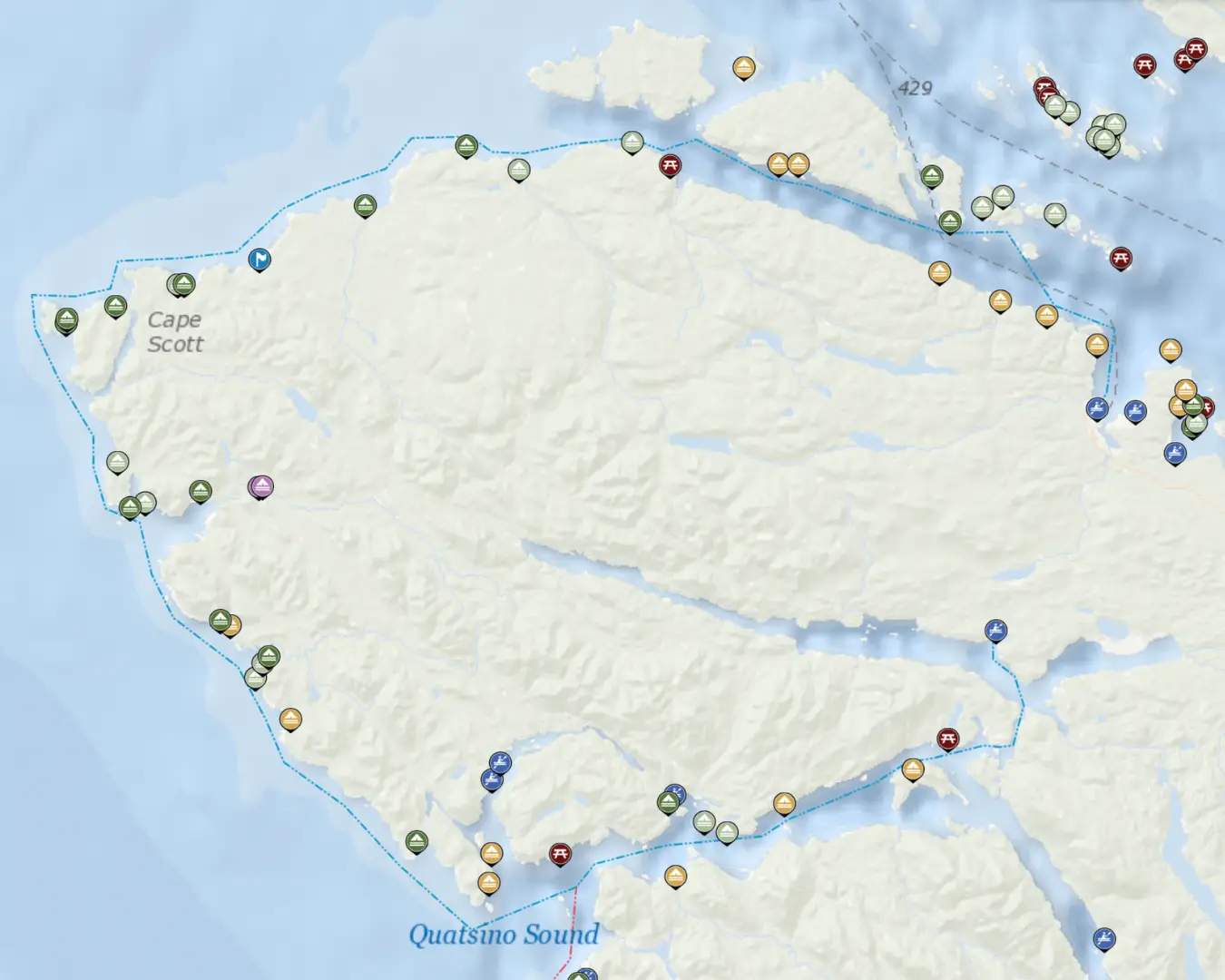
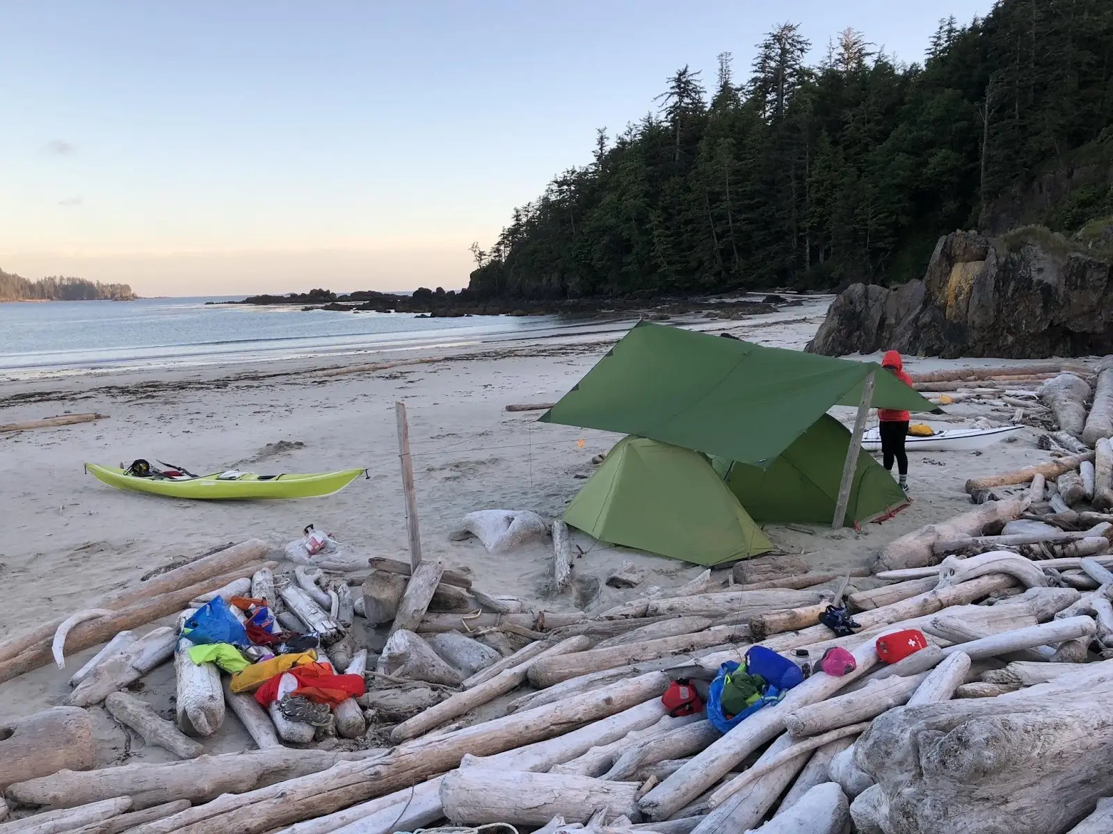
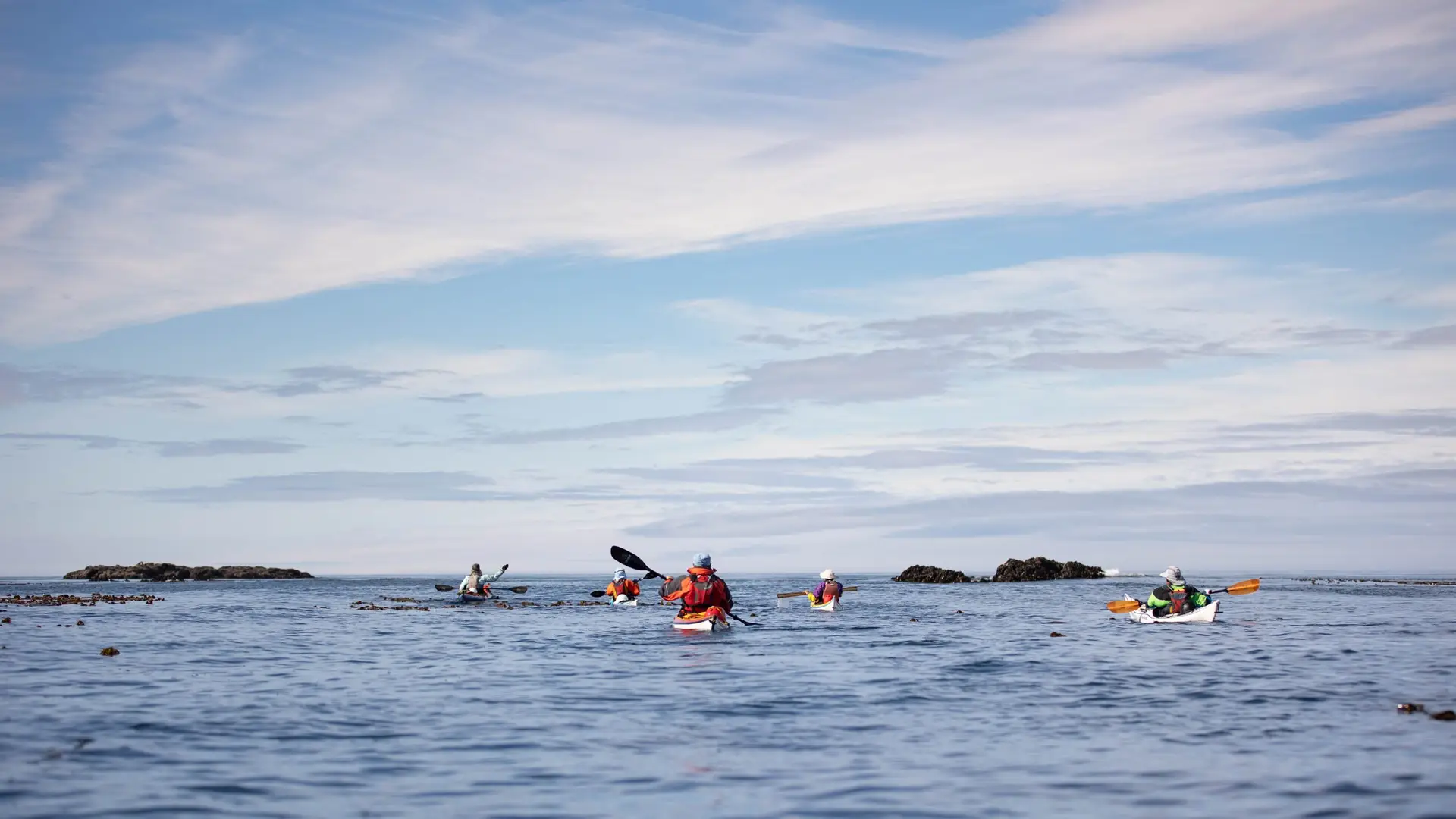
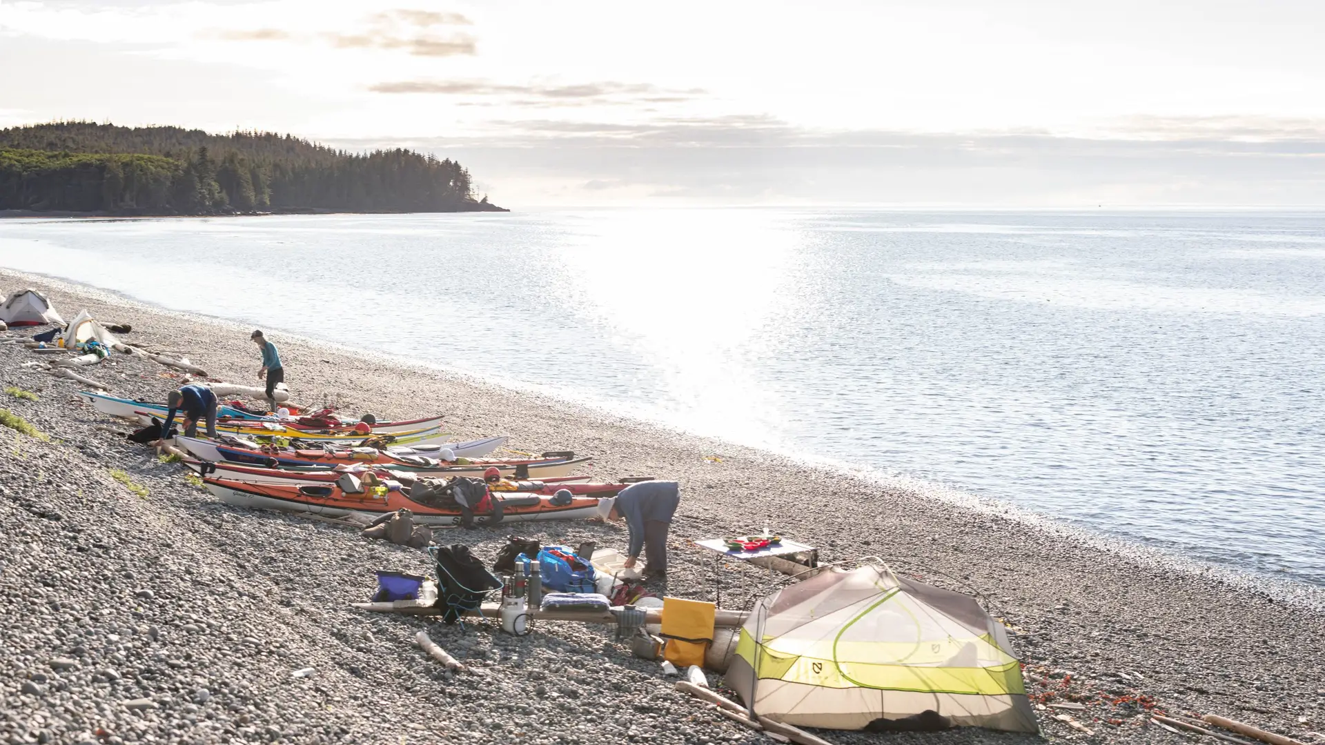
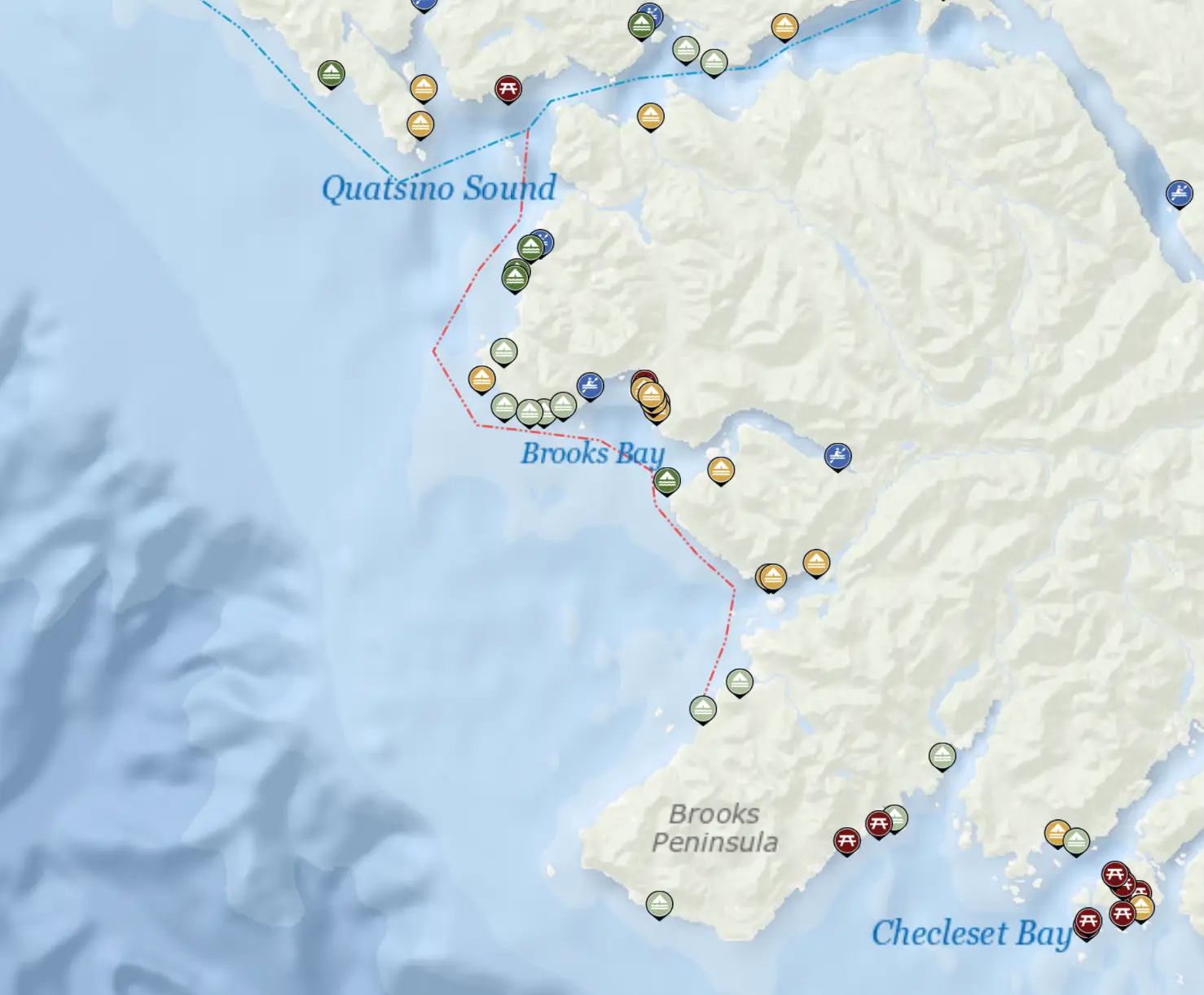
The trail can be accessed from any of the 10 launch sites along the trail. Find all launch sites on the BC Marine Trails map.
Port Hardy
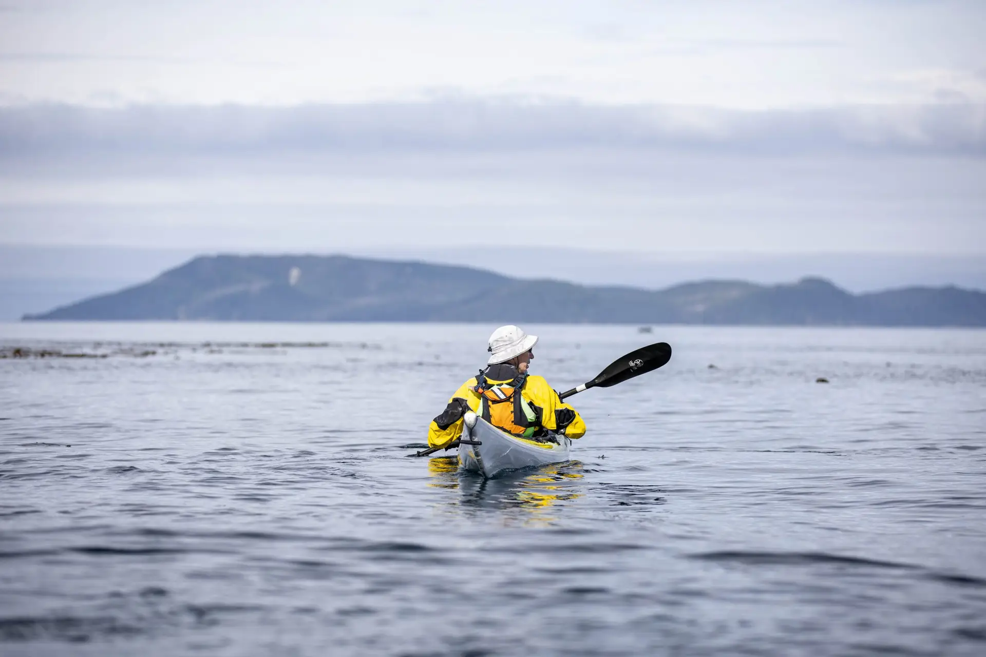
The counter-clockwise route from Port Hardy is the most popular to take advantage of prevailing Northwesterly winds on the Pacific side. Launch at one of the three nearby launch sites or hire a water taxi to take you further up the east shoreline to shorten the route.
Carrot Park: This is the main access to the beach within the town of Port Hardy.
Bear Cove: This is a boat ramp and launch located across Hardy Bay from Port Hardy. Parking can be an issue.
Storey’s Beach, Fort Rupert: This is a beach access at a local park slightly more distant than options within Port Hardy and Hardy Bay.
Coal Harbour
If travelling from west to east, Coal Harbour is the recommended put in.
The beauty of this trail is that Coal Harbour and Port Hardy are a short 20 minute drive from one another. Due to the unique geography of Northern Vancouver Island, the full loop can be accomplished by shuttling cars from your launch site to your destination (two car minimum required for this strategy).


Train
Prepare
Connect