Trails Development
The BC Marine Trails map is the cumulative work and passion of its dedicated volunteers and users. All site information on the BC Marine Trails map has been sourced, and vetted, by our volunteer Trails Development Committee.
Users play a significant role in maintaining our map too — Site Assessments allow for new sites to be submitted to BCMT, with Site Condition Reports allowing users to submit up-to-date information on our beloved coastal sites.
How do sites become live on the our map?
1. Site Data Gathering
2. Region Manager Screening
3. Concurrence & Safety Checks
4. Network Planning & Site Classification
5. Publication & Regular Updates
Our Region Managers (volunteer members of the Trails Development Committee) oversee sites, and Site Condition Reports, within their regions. Regions include:
- Vancouver Island
- South Coast Mainland
- North Coast
- Haida Gwaii
- Discoveries & Mid-Coast
- Central Coast
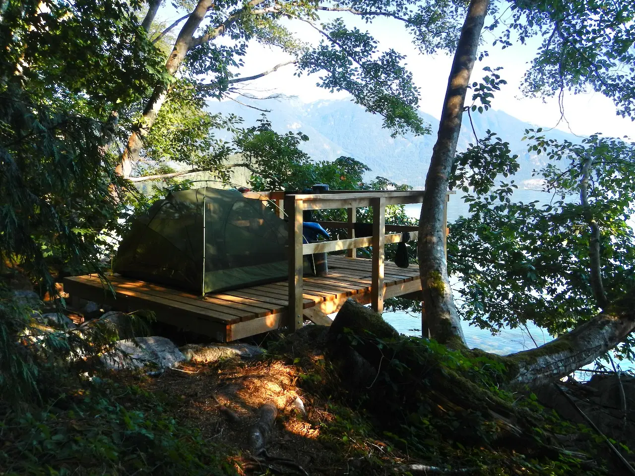
The committee also oversees infrastructure installations and maintenance at select sites within the BC Marine Trails network — tent platforms, food caches, composting toilets, and more. 14 sites with infrastructure are directly managed or co-managed by BC Marine Trails.
Region Managers

Nick Heath
Multiple Regions
Fred Pishalski
Vancouver Island Region
Paul Grey
Site Log Editor
John Halliday
Discoveries & Mid Coast
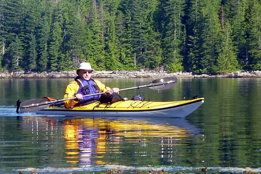
Site Condition Reporting
The BC coast stretches over 25,000 kilometres, encompassing more than 1,500 BC Marine Trails sites. It’s impossible for our team to monitor all these locations without some help. Instead, we depend on our user base to provide us with on-the-ground reports, ensuring our map remains accurate and up-to-date.
By submitting Site Condition Reports (SCRs), you can actively contribute to the stewardship of the marine sites you cherish. With the easy-to-use Survey123 app, reporting takes only a few minutes and is a breeze! Reports can also be submitted through your online browser.
Region managers review SCRs submitted in their region, comparing to existing site data, past reports, and comparing coordinates to known site location. Reports that are approved are displayed on the member map. Major changes reported, like overgrown tent sites, infrastructure changes, or danger trees may be updated directly on the site description.
Site Assessments
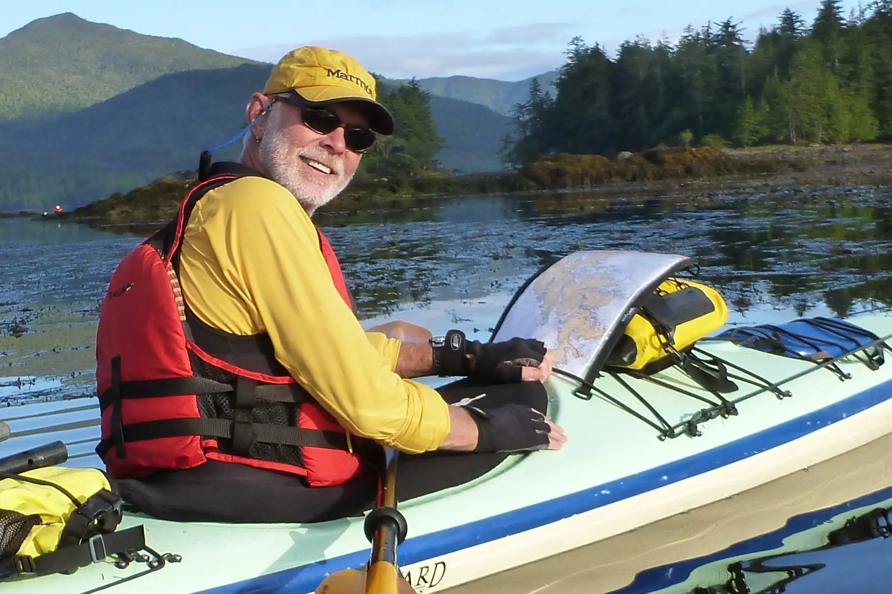
Site Assessments are detailed reports on campsites and day use sites where we have little to no data. These reports help us determine potential new sites and keep existing ones safe and sustainable. We try to assess as many sites as possible internally, but rely heavily on our community on the water. Reports from individuals extend our ability to build and maintain a safe marine trail network immensely.
When you complete a site assessment, think about the types of information you’d like to know when planning a trip or choosing a campsite. See this overview for a detailed reference of what factors to consider. Visit at low tide if possible; it’s helpful for prospective paddlers! You can print the overview to take notes in the field, then fill out the online form when you’re home. Alternatively, use a Word or PDF version to complete off-line.
A site assessment takes about 30 minutes to complete. Your contributions are greatly appreciated!
Safety Mandate
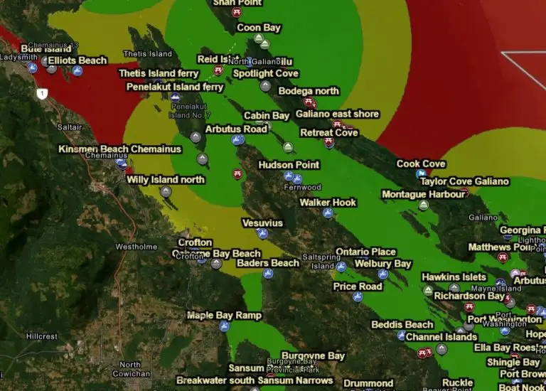
Our Safety Mandate, developed by the Trails Development Committee, establishes minimum requirements for ensuring safe passage of a marine trail. The purpose of this mandate is to help identify suitable locations for our site network that meet a minimum safety standard, taking potentially hazardous conditions into account. Our safety mandate allows us to actively advocate to land managers for new site inclusion in areas without sufficient site density.
As per our safety mandate, a distance between campsites of 8 nautical miles or less is considered safe! For distances between 8 and 12NM, safety gaps could be improved. A distance between campsites greater than 12NM is considered unsafe.
*The standard is applicable only for favourable weather conditions and assumes that paddlers possess the necessary skills and experience appropriate for the waters they are traversing.
We use a heatmap analysis system to identify gaps in the BC Marine Trail Network, and inform conversations with land managers. The heatmap uses three colours: green, yellow, and red. Green indicates that the distance between campsites is 8NM or less, yellow indicates a distance between 8NM and 12NM, and red indicates that the distance between campsites is greater than 12NM.
Social License & First Nations Engagement
The Trails Development Committee works closely with our First Nations Engagement Committee. As we establish a marine trail network, respectful engagement and implementation of the management directives of our Indigenous partners are paramount to recognizing Indigenous Rights and Title.
We recognize that many of the sites paddlers have frequented for years were established without prior First Nations engagement. Recognizing that First Nations have been the stewards of these lands and waters since time immemorial, we fully support their inherent right to manage resources, including recreation, within their Territories by seeking concurrence for every site and trail on our map.
Our First Nations Liaison and First Nations Engagement Committee work directly with Nations to direct recreationists to approved sites, and away from those which are environmentally or culturally sensitive — and no longer appropriate for use. Our map is continually updated to reflect these ongoing dialogues, guiding visitors to approved sites and away from areas that are environmentally, culturally, or socioeconomically sensitive, ensuring alignment with both government and local stakeholder expectations, and providing more and more information from First Nations whose Territories you’re paddling through. The BCMT map is ever evolving as our understanding of what our local partners need to effectively manage recreation in their Territory grows. Use our map to know where you can visit.
Marine Trails
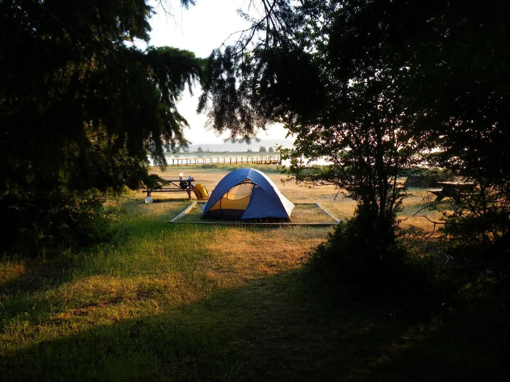
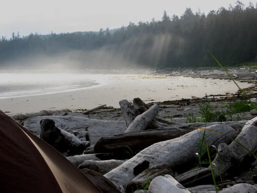
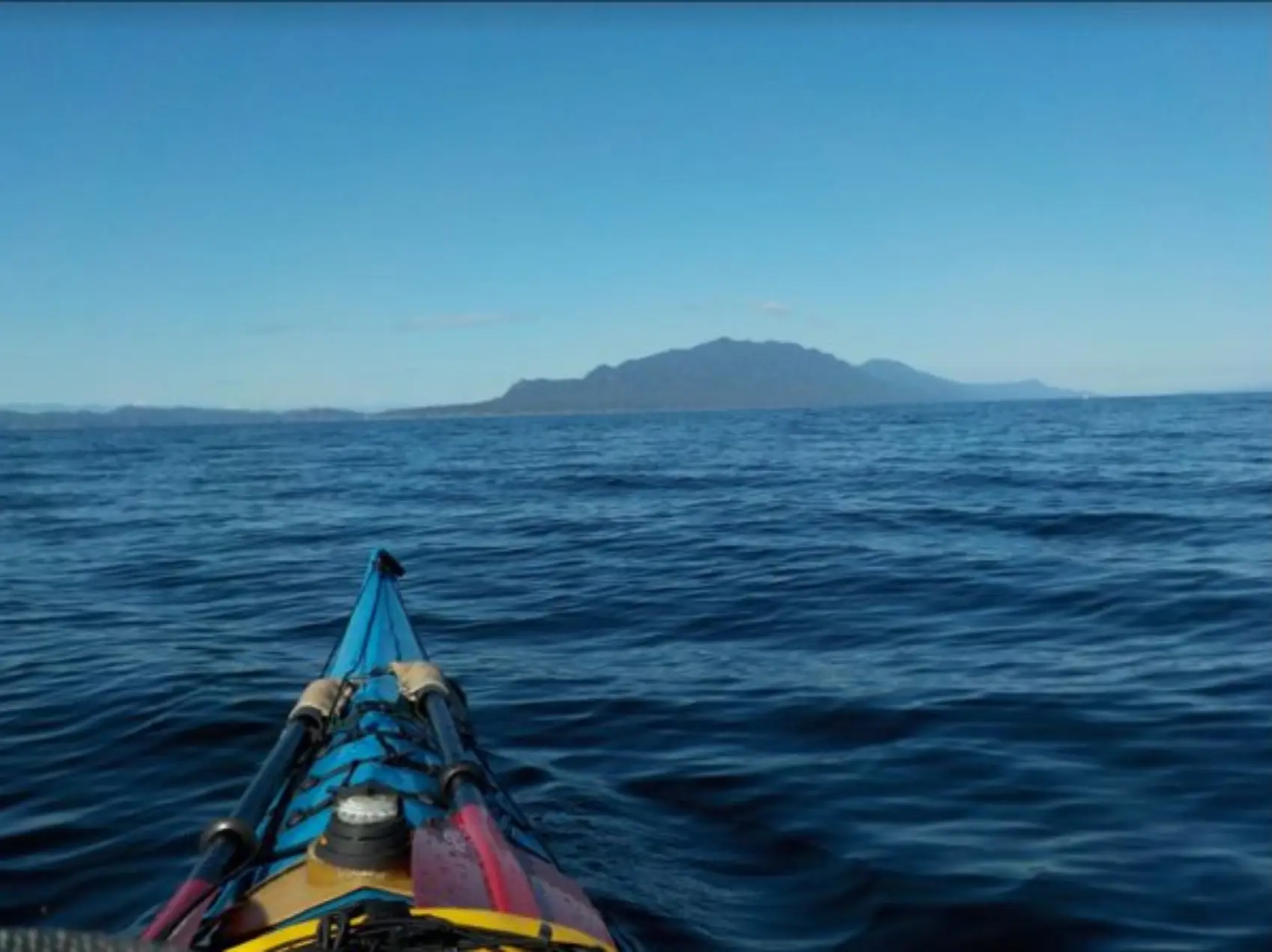
A Marine Trail is an integrated network of launch sites, day-use areas, safety stops, and campsites, designed to facilitate safe and accessible travel along its route for recreational watercraft like kayaks, canoes, and paddleboards. These trails are meticulously planned to ensure continuous, safe passage for paddlers, except in areas where the use of naturally powered craft is restricted. The primary goal of the BC Marine Trails Network is to secure formal access to the shoreline, enabling activities such as launching, landing, resting, seeking refuge, and camping. This is crucial for maintaining the trails’ safety, accessibility, and functionality.
Marine trails vary in their offerings, with some providing comprehensive amenities like tent platforms, bear-proof food storage, and waste management facilities, while others offer a more rugged experience with basic, wild campsites. These trails not only cater to a diverse range of paddling experiences, from leisurely day trips to challenging expeditions but also promote environmental stewardship and conservation by encouraging responsible use of coastal ecosystems.