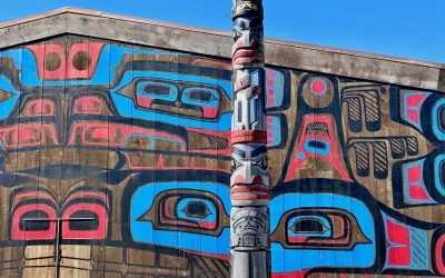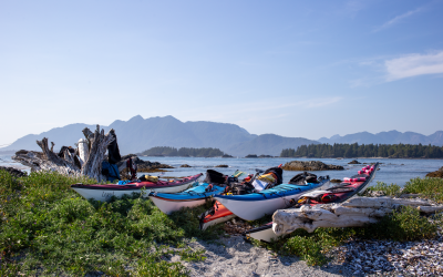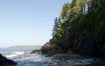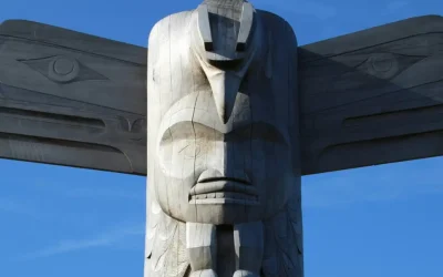

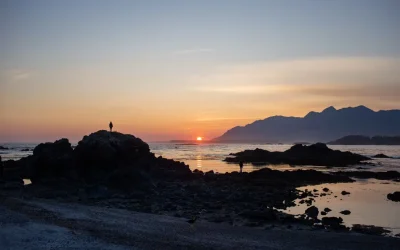

Respectful recreation within First Nations Territories is of the utmost importance. Preserving cultural heritage features can be critical for the continuity of cultural knowledge. Historically, recreation has paid little attention to what respectful recreation looks like around cultural features. The paddling community has an opportunity to shift this narrative by supporting Indigenous management practices, respecting cultural spaces, and fostering meaningful relationships with the lands and waters we travel through.
Video on respectful recreation from the Nanwakolas Council
First Nations tenet of the Marine Trails Code of Conduct
Contacting First Nations prior to visiting would be overwhelming to these governments. Instead, find tips below that we suggest to both be respectful and also to enhance your experience.
There are, however, campsites and other locations where permission and even fees to First Nations are either suggested or required. Respecting these requests and paying required fees help First Nations continue to care for these Territories as they have since time immemorial.
Each site on our map lists the First Nations Territory (or Territories as overlapping is common) on which the site is located. Below the site information, there is a First Nations Information Box, where each Nation displays their messaging to paddlers, and if applicable how or where to pay fees.
As paddlers and enthusiasts exploring these waters, it is essential to understand and respect the various management directives and plans put forth by First Nations. From visitor guidelines, visitor fees, and guardian programming, these directives are not only a testament to the Nations’ sovereignty but also an integral part of maintaining the health and vitality of these coastal ecosystems.
All fees are per person.
Clayoquot Sound, Vancouver Island
If you are planning a trip north of Tofino, to Vargas, Flores, surrounding islands, or Hot Springs Cove, visitation is subject to a $15 / day stewardship fee payable to the Ahousaht Stewardship Fund. The Fund supports the Ahousaht Stewardship Guardian Program, combining western science and Ahousaht knowledge to support the preservation, restoration and protection of Ahousaht resources and culture for generations to come.
| Stewardship fees | Ways to pay | Area |
|---|---|---|
| $15 / Day | Online, click here | See area map |
Clayoquot Sound, Vancouver Island
ƛayaaḥuɁał– the closest word to “Welcome” in the Tla-o-qui-aht language – extends both an invitation and an expectation. Guests are welcomed here with open arms, but they are expected to yuuts-hap: to carry themselves with dignity, honour, humility, and respect while travelling through the haḥuułi of the ƛaɁuukwiatḥ ḥaw̓iiḥ. We invite you to take the ʔiisaak pledge, carrying these words in your heart as you travel: Learn how to embody them and consider donating to Tla-o-qui-aht Tribal Parks to help fund stewardship within the haḥuułi. Suggested donation is $10/day for trips within Tla-o-qui-aht Tribal Parks.
| Stewardship Donation | Ways to pay | Area |
|---|---|---|
| Voluntary donation | Online, click here | See area map |
Broughton Archipelago, Vancouver Island
With limited stewardship resources, the Mamalilikulla have found it necessary to develop a voluntary registration system and to require a visitor fee, particularly for our Village Island Reserve, known as Mimkwamlis. These management tools will assist them in improving their stewardship capacity and to better manage areas to avoid damage from over-use. Mamalilikulla Guardians patrol the waters and are stationed at Mimkwamlis and will be happy to assist you. Please visit their website for visitor information and registration details.
| Stewardship fees | Ways to pay | Area |
|---|---|---|
| $20 / Day | E-transfer or mail | See area map |
Broughton Archipelago, Vancouver Island
Please register your visit or direct questions to landsmanager@khfn.ca. To make a payment, e-transfer to accounting@khfn.ca – suggested donation amount is $20/person/night. These funds help support our stewardship of the land through the developing Guardian Program.
| Stewardship Donation | Ways to pay | Area |
|---|---|---|
| Recommended $20 / night | E-transfer | See area map |
Barkley Sound, Vancouver Island
If you are planning a trip to the Deer Group off of Bamfield some sites may lie in Huu-ay-aht Treaty Settlement Land, and are subject to a permit application and stewardship fee for use. Included sites are on Helby and Diana Islands.
| Stewardship fees | Ways to pay | Area |
|---|---|---|
| $10.50 / Night | In person, click for locations | See area map |
Nootka Sound, Vancouver Island
Yuquot (Friendly Cove), on Nootka Island, is the Traditional Territory of the Mowachaht/Muchalaht Nation and holds deep cultural and historical significance. Respectful visitation is encouraged, and a landing and camping fee supports site stewardship.
| Stewardship fees | Ways to pay | Area |
|---|---|---|
| $15-20 | Online | Town of Yuquot only |
Nuchatlitz and Esperanza Inlets, Vancouver Island
| Visitation fees | Ways to pay | Area |
|---|---|---|
| $25 / day | E-transfer | See area map |
Campbell River, the Discovery Islands, and Bute Inlet
χʷɛmaɬkʷu (Homalco) are the People of the fast-running waters, referring to the many rapids and rivers within our unceded territory. As stewards of the lands and waters of Campbell River, the Discovery Islands, and Bute Inlet, Homalco invites visitors to experience this territory while helping support its protection.
Visitors are asked to pay a $25/day stewardship fee (e-transfer to revenue@homalco.com) which goes directly toward supporting the Homalco Guardian Program. Our Guardians monitor, care for, and protect χʷɛmaɬkʷu territory for future generations. Please indicate that your e-transfer payment is for the Homalco Guardian Program. For international visitors without e-transfer, please use this Square payment link.
| Stewardship fees | Ways to pay | Area |
|---|---|---|
| $25 / day | E-transfer | See area map |
Across the BC coast, more and more Nations are establishing Guardian programs. These initiatives see trained community members serve as stewards of their traditional lands and waters. While each program reflects the priorities and culture of the Nation that leads it, all share a common purpose: caring for place.
Clayoquot Sound, Vancouver Island
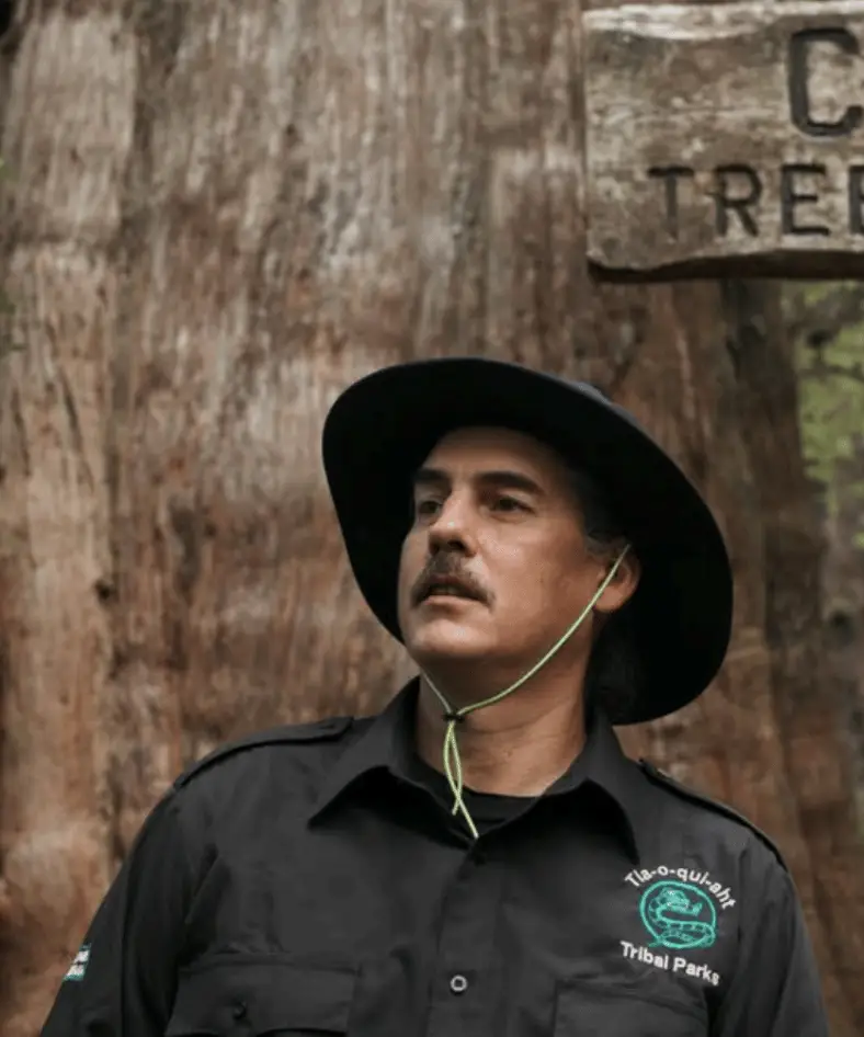
Tatt has been a Tla-o-qui-aht Guardian since 2008. He has spent years stewarding places like the Big Tree Trail (Meares Island) and protecting old-growth forests. Tatt takes pride in the program’s efforts that help ensure future generations can enjoy clean water, thriving salmon, and the living ecosystems of Tla-o-qui-aht lands.
Tla-o-qui-aht Guardians are involved in vital projects in the ḥaaḥuułi of the ƛaʔuukʷiʔatḥ ḥaw̓iiḥ (Tla-o-qui-aht territories, also known as Načiks or Tofino), such as river restoration, salmon habitat revitalization, dune-grass habitat remediation, visitor and area-user education, environmental monitoring, beach and back-road cleanups, marine debris removal, invasive species control, and trail maintenance.
Queen Charlotte Strait Region
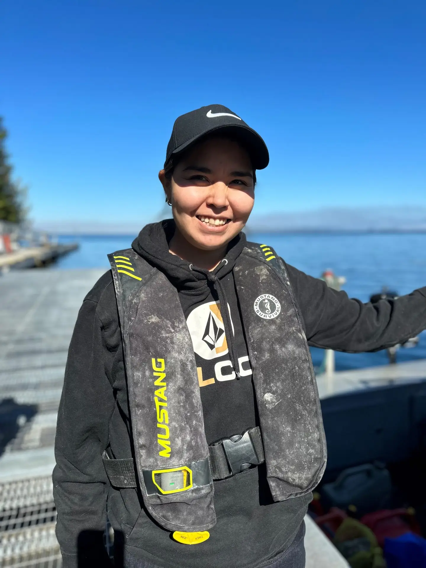
Caitlyn is a member of the Mamalilikulla First Nation Guardian team (so is her dad David, along with seven other Guardians). Guardians are highly trained professional environmental stewards, and Caitlyn is no exception. She recently obtained her commercial diving certification and along with Guardians from other First Nations has been sampling kelp to better understand changes in habitat and abundance and the impacts of climate change on this important cornerstone species. “Being a Guardian and doing this kind of work is so important,” says Caitlyn. “The ecology of our coast is fragile and highly sensitive to environmental impacts. It’s good to be part of a team doing our part to protect it.”
Centered at Cape Mudge on Quadra Island and Quinsam on Vancouver Island
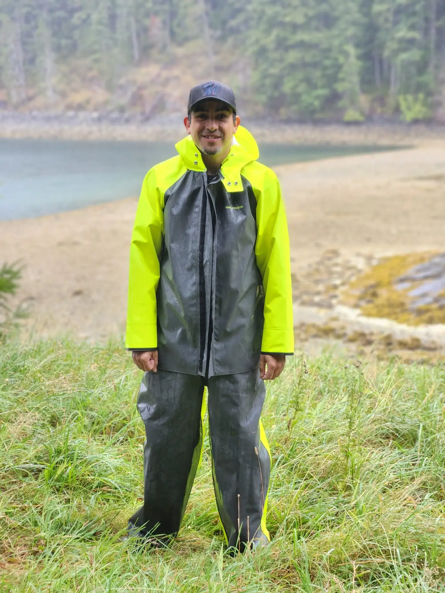
Shane has been the We Wai Kai First Nation Guardian Manager since 2022. The We Wai Kai Guardians initially focussed their work on lands-based research and monitoring in their Nation’s territory, such as research into elk habitat and behaviour and surveys of cultural sites and culturally modified trees in potential logging areas, but Shane also co-led work in 2023 and 2024 on revitalizing a 4,000-year-old clam garden in his Nation’s territory. “Being a Guardian and doing this kind of work is so important,” says Shane. “Our people have cultivated clam gardens for millennia and they still are a vital food source for us, culturally and physically. It’s exciting to be part of these efforts to protect our special places.”
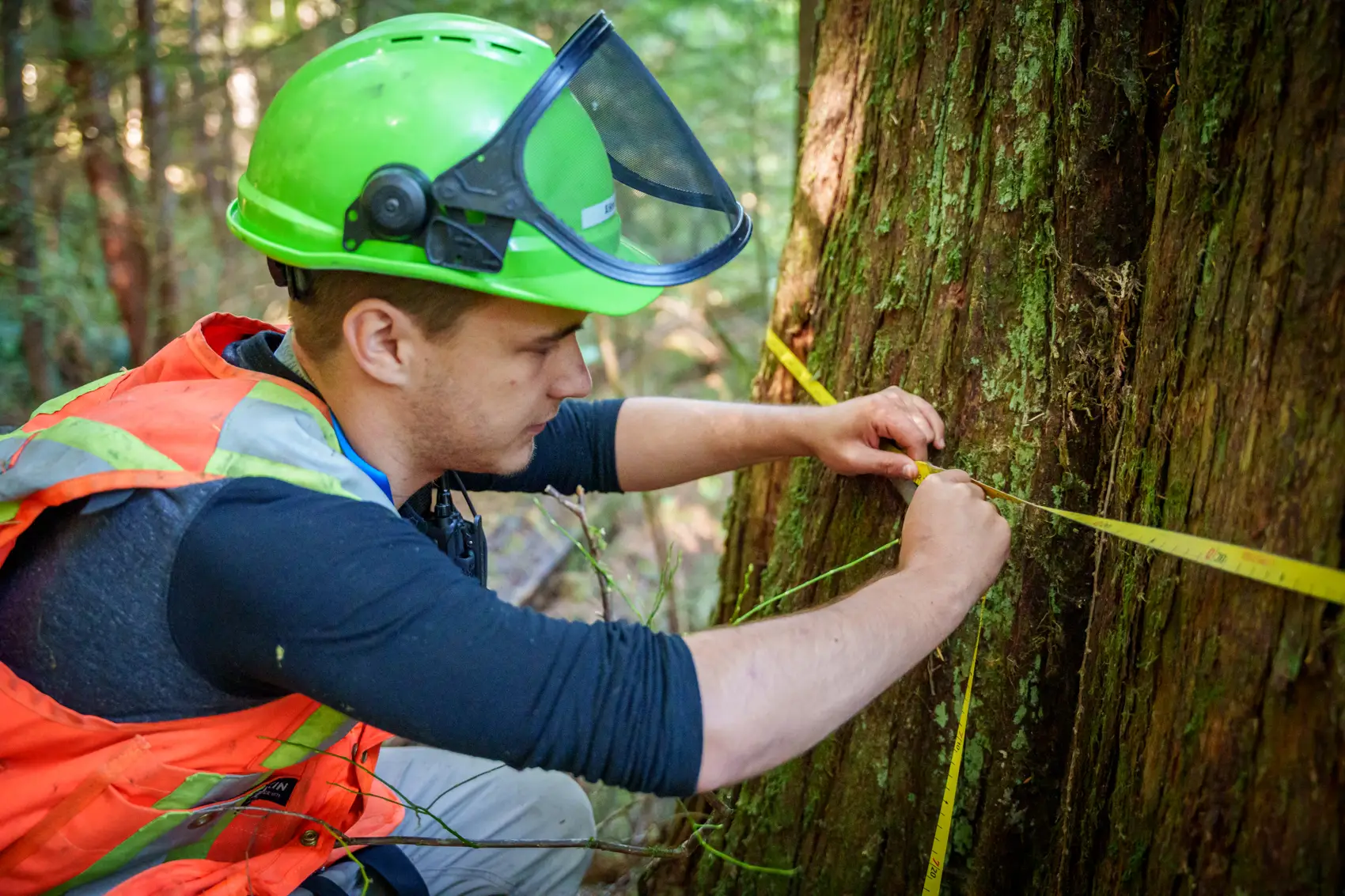
Scott Assu, who has been a We Wai Kai First Nation Guardian since 2022, is also studying archaeology at Simon Fraser University. His work has involved surveying potential forestry harvest areas to assess the location and abundance of culturally modified trees and archaeological sites that might need to be protected from logging. Being a Guardian is more than just a job for Scott (he is seen here measuring a Large Cultural Cedar tree in his Nation’s territory), however, it is a part of who he is as a We Wai Kai man: “Being on the land, being where my ancestors have always been, that’s a very cool feeling. And knowing that what I am doing is supporting my Nation’s interests, and helping protect our important sites, is a real highlight.”
Comox Valley: Salmon River in the north to the Englishman River in the south
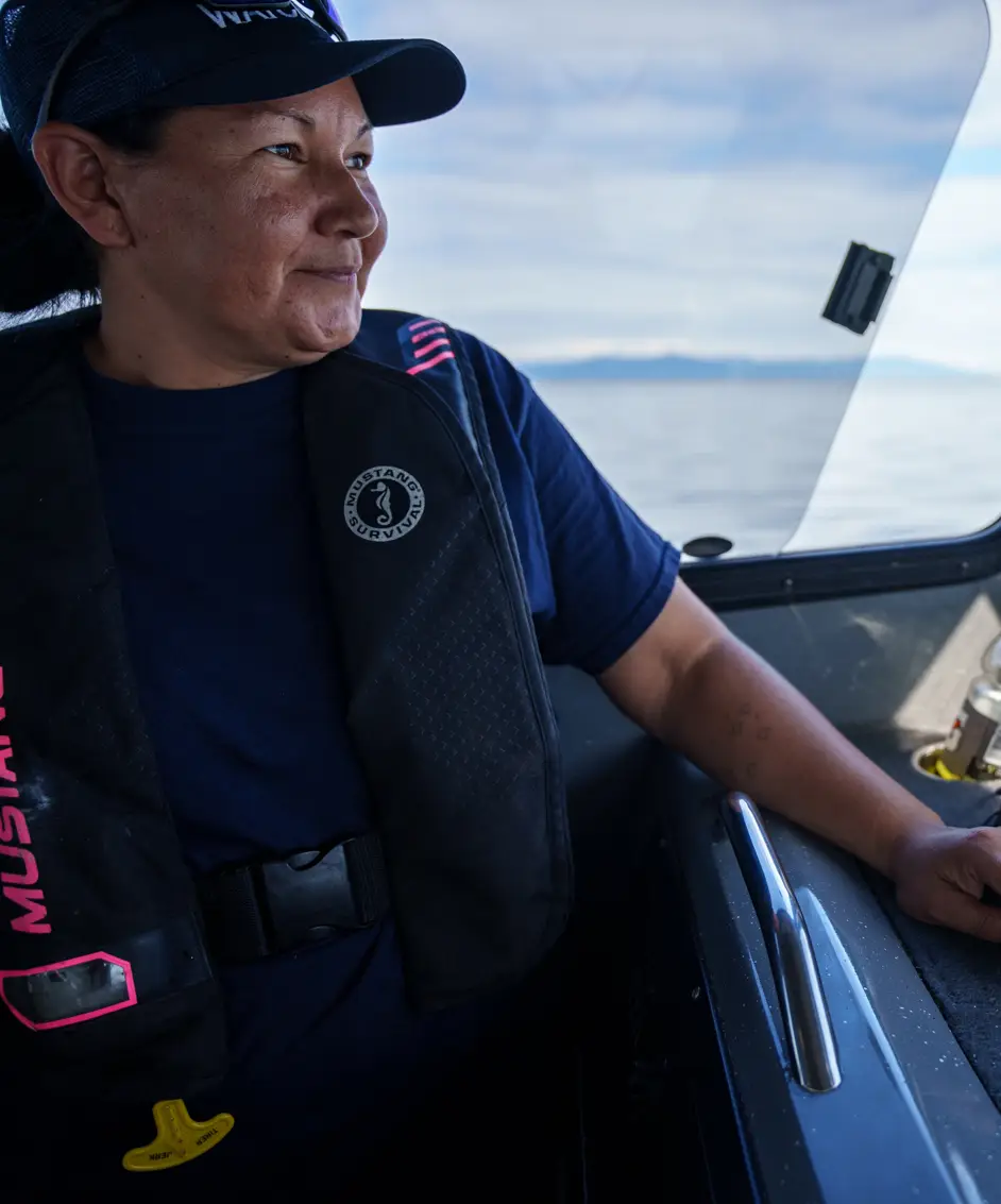
Krissy is the K’ómoks First Nation’s Guardian Manager, operating a team of five Guardians. In addition to managing her team and supporting the Nation’s leadership in its decision-making on the lands, waters, and resources in their territory, Krissy is typically out in the field on any given day throughout the year, monitoring activity on the water, conducting research into issues affecting the territory, such as climate change, and working with third party partners like Coast Guard Canada to protect the marine environment against oil spills and other catastrophic events. “It’s more than a full-time job: it’s a way of life,” says Krissy. “I can’t imagine being anywhere else or doing anything else more important than this work.”
The mouth of Knight Inlet, from the mainland to Vancouver Island
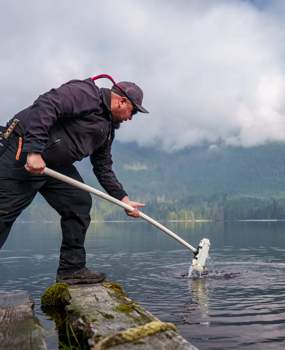
Senior Tlowitsis First Nation Guardian Mike Stadnyk enjoys nothing better than a good day out on the water in his Nation’s territory, whether it is monitoring kelp, collecting eDNA samples to research the species found in Tlowitsis territorial waters, or working with third party partners like Coast Guard Canada on emergency oil spill response strategies. It’s a job he has loved since he first took it on in 2018: “I jumped in with both feet when I was offered the opportunity to do it,” he recalls. For Mike, it’s the most important work he can do: “We Guardians are the eyes and ears for our Nations in the territories. Everything we do supports our leadership in their decision-making. We are also a voice for the animals, plants, for everything in our ecosystems. That’s important for not just our Nation, but for society as a whole. We have a finite amount of resources and it’s really important we use them in the most sustainable way.”
Loughborough Inlet to the Tsable River, westward to central Vancouver Island, and eastward through the Strait of Georgia
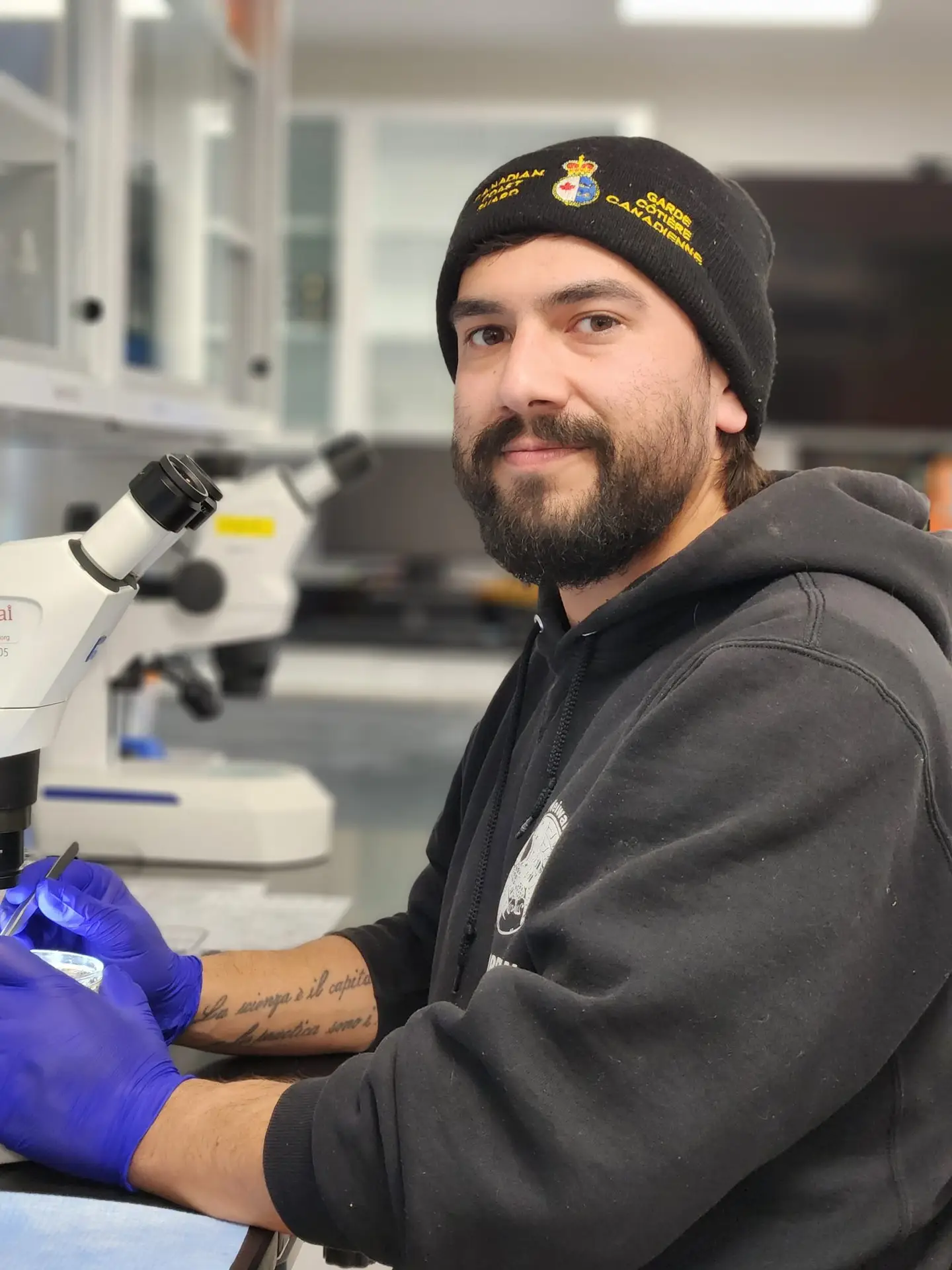
Jordon, a Wei Wai Kum First Nation Guardian, says he really enjoyed the lab work that followed the collection of water samples watersheds in his Nation’s territory as part of the 50 Watersheds research project into the impacts of climate change and forestry management on salmon habitat. “It’s really fine work, looking through a microscope and counting maybe more than 100 species of invertebrate in a small drop of water,” observes Jordon. “It was a very large project scope on watershed health, especially for salmon. How do you quantify how healthy it is from a scale of 1 to 10? There are so many different ways but through this lab work especially, being able to compare the sensitivity of the invertebrates to very similar sensitivity of salmon is really cool. Through sitting here counting you can physically verify that there’s an x amount of a certain vertebrate, which is potentially directly comparable to x salmon that might be in the system. It’s really cool that you can connect those dots.”
What it means and how you can participate in establishing respectful relationships.
Support Indigenous owned businesses during your adventures.
Emerging trends in outdoor recreation as Indigenous-led management expands.
The importance of cultural and archaeological sites, and best practice in Nanwakolas member Territories.


An orientation to respectful visitation within Mamalilikulla Territory.

Stewardship fees, considerations, and respectful paddling.
BC Marine Trails’ goal is to help expand safe access to the BC coast while respecting First Nations Rights and Title.
In all of BC Marine Trails’ work in trail development, stewardship, and First Nations engagement, we follow applicable federal and provincial laws and regulations, court decisions, and First Nations laws, policies, and management directives where they apply.
We are committed to building respectful, positive, and lasting relationships with First Nations as part of our contribution to citizen-based reconciliation. Core to our work is recognizing and supporting First Nations management directives for recreational use within their Traditional Territories.
Crown land doesn’t automatically mean unrestricted public access or camping. Crown land is managed for many different purposes, including conservation, cultural protection, and resource extraction. Although camping on Crown land is generally allowed for up to 14 consecutive days, restrictions or closures can occur where recreation conflicts with other uses.
The BC coast is composed of the Traditional Territories (often overlapping) of many First Nations, whose Aboriginal Rights and Title are protected under Canada’s Constitution and can affect how lands and waters are managed and accessed by the public. BC Marine Trails works with coastal First Nations to ensure our map reflects local management directives and supports respectful recreation. More often than not, working with Nations helps us identify and expand recreational access: in 2025 alone, working with First Nations resulted in more than 100 sites being added to the BC Marine Trails map.
We recommend camping only at designated campsites on our map, and checking the First Nation’s Info Box for local visitation guidelines. Our map is thoroughly researched and kept up-to-date.
Indigenous Protected and Conserved Areas (IPCAs) have the potential to enhance recreation on the BC coast.
IPCAs contribute to the sustainable stewardship of these environments, improving the present-day quality of recreation (intact ecosystems, more wildlife, decreased industry), while protecting these areas for generations to come.
Within coastal IPCAs, conservation and responsible recreation can go hand in hand, with activities such as paddling, fishing, and hunting often continuing where they align with Indigenous stewardship principles and management priorities. Some coastal IPCA declarations have explicitly addressed the continuation of these activities. For example, the Kitasoo/Xai’xais Nation has established an Indigenous Protected Area within Gitdisdzu Lugyeks (Kitasu Bay, on the northern BC coast near Klemtu). Under the area’s management approach, recreation access is permitted except during the March and April herring spawn season, while commercial tourism is restricted year-round.
As IPCAs are established and managed by First Nations, recreational users are required to follow the management priorities and visitation guidelines established for each area.
Indigenous Protected and Conserved Areas (IPCAs) are, by definition, Indigenous-led. The Province may be involved in the development or implementation of some IPCAs, particularly where they intersect with existing land-use planning, but it is not involved in the creation of every IPCA.
The appropriate opportunities for public engagement can therefore vary depending on the IPCA, its stage of development, and the land-use planning processes involved.
The Province has committed to involving the public when a proposed IPCA is being considered or incorporated in a Land Use Plan.
There are over 70 unique First Nations on the BC coast. BC Marine Trails aims to engage with all of them to seek concurrence for use of campsites, day-use areas, and launch sites shown on our map, as well as all stewardship activities.
As of 2026, BCMT has engaged and developed relationships with 51 First Nations. Over 1,600 sites have been reviewed during this process over the past 9 years.
The number of First Nations can be somewhat complex to define. Some First Nations that were historically distinct have since been combined, often through processes imposed by the Canadian government. Where a First Nation’s official name is composed of two distinct names, this may reflect historically distinct Nations that have since been combined.
Many First Nations have overlapping Traditional Territories along the BC coast. As a marine recreationist, becoming familiar with the First Nations whose Traditional Territories you are visiting can help you better understand and respect the places you visit.
The BC Marine Trails map lists the Nation(s) whose Traditional Territory a site falls within. Simply click on a site and refer to “First Nations Traditional Territories.”
Scroll further to the “First Nations Information” section to find any management directives that may apply to the site. These may include specific visitation guidelines, visitation fees, or other considerations shared by the First Nation(s).
BCMT respects all First Nations Traditional Territories and management directives they implement within them.
Recognition of Aboriginal Title does not necessarily mean reduced recreational access. While there are some sites along the BC coast that First Nations have chosen to close for reasons such as cultural sensitivity or ecological concerns, it is far more common (and far less publicized) for First Nations to welcome visitors and support recreation on their lands.
When court decisions, or negotiations, result in a declaration of title over specific lands, those lands become the equivalent of private land owned by the First Nation. This may result in more or less access than before title was granted; each situation will be different depending on the First Nation and area in question.
In these instances, recreational users must follow the management priorities and visitation guidelines established by the Nation.
Indian Reserve Lands (IRs) are federal lands held by Canada for the exclusive use and benefit of the First Nation for which the reserve was created. IRs make up a very small fraction of the coast, and are often places of cultural significance and ongoing use by First Nations.
The First Nation determines whether, and under what conditions, public access is permitted. A simple way to think about this is that camping on IRs without permission is much like camping in someone’s front yard without asking.
Visitors should have the Nation’s permission before accessing or camping on IRs. BC Marine Trails recommends landing on the foreshore or beach of IRs only in an emergency, unless the Nation has indicated that recreational access is permitted.
IRs are displayed on the map to aid trip planning. Refer to the BCMT map for up-to-date information.
There are over 1,000 Provincial Parks, conservancies, ecological reserves, and protected areas in British Columbia. To date, only a handful have been restricted for public access due to First Nations concerns.
Most BC Parks were established at a time when First Nations were not adequately involved in decisions about the management of their Traditional Territories. Today, BC Parks is working with First Nations to develop relationships and management approaches that better reflect both Indigenous and non-Indigenous interests, including conservation and recreation.
In some cases, where parks or specific sites are culturally important to a First Nation and arrangements have not been made to accommodate traditional activities and practices, a First Nation may assert its rights and ask visitors to temporarily avoid an area. Recent examples, including closures at Joffre Lakes and Botanical Beach, have been limited in duration.
In other cases, a First Nation may request that a site be removed from the BC Marine Trails map while the site remains open under BC Parks’ management. Recent examples include the Burdwood Group in the Broughton Archipelago and South Rendezvous Island in the Discoveries. In these cases, BCMT strongly recommends that visitors respect the First Nation’s request and avoid the site, even where BC Parks has not formally closed it.
Collaborative management of parks and protected areas is continuing to develop. BC Parks states that it “strive[s] to better integrate Indigenous knowledge, values, and interests into planning and park management as we work together towards a shared future.”
BC Marine Trails encourages visitors to respect closures and other management directives, and to check for current visitation information while trip planning, available through the BC Marine Trails map.
Aboriginal Rights and Title are not about giving First Nations special rights simply because they are First Nations. They recognize that Indigenous Peoples had established relationships and responsibilities to their lands and waters long before Canada existed, and that those rights were not simply erased as Canada was created.
The Crown itself recognized Indigenous Peoples’ existing rights long before Canada became a country. King George III’s Royal Proclamation of 1763 instructed British colonists to respect the rights of Indigenous Peoples and established that lands not ceded to the Crown could not simply be taken, but had to be obtained through agreement with First Nations.
Despite this, governments went on to establish systems for governing land and resources that often failed to recognize or respect those existing rights. This problem was and remains particularly acute in British Columbia, where many successive governments ignored and denied numerous legally valid rights and title claims by coastal First Nations. Many of these issues are still being worked through today, including through negotiations, and in federal and provincial courts. Aboriginal Rights and Title are now protected by section 35 of the Constitution Act, 1982.
So, this isn’t about creating one set of rules for First Nations and another for everyone else. It’s about recognizing rights that existed before Canada and are protected by Canadian law. In this sense, recognizing Aboriginal Rights and Title is a step towards applying the law of Canada fairly to all Canadians and a key part of the Reconciliation process.
We understand that it can be disappointing to find that a favourite site is no longer available.
First Nations have inherent Aboriginal Rights and Title in their Traditional Territories. In respect of these rights, when a Nation asks us to remove a site from our map, we do so as part of our ongoing engagement and relationship building, and as a step toward citizen-based reconciliation.
Importantly, these closures are the exception, not the norm. More often than not, working with Nations helps us identify and add recreation opportunities: in 2025 alone, working with First Nations resulted in more than 100 sites being added to the BC Marine Trails map.
A Nation may have many reasons for requesting that a site no longer be promoted for recreation. The site may be experiencing overuse or environmental degradation, may have cultural or spiritual significance, or may continue to be used by the Nation for activities such as hunting or gathering. We respect that Nations may choose not to share details about these considerations, and BC Marine Trails does not request or share sensitive information provided to us through these discussions.
Some sites may also be located on Indian Reserves, which are held by Canada for the use and benefit of the First Nation. BC Marine Trails recommends that recreationists avoid landing on the foreshore of Indian Reserve Lands except in an emergency, unless the Nation has indicated that recreational access is permitted.
There are over 70 unique First Nations on the BC coast. BC Marine Trails aims to engage with all of them to seek concurrence for use of campsites, day-use areas, and launch sites shown on our map.
For a Marine Trail to pass through a Nation’s Territory, BCMT seeks concurrence from that Nation. While a continuous marine trail across the entirety of BC is an incredible dream, it is not a practical reality in the near term. We continue to expand our engagement with First Nations to improve and expand recreational access to the BC coast in alignment with Indigenous management directives.
To date, BCMT has engaged and developed relationships with 51 First Nations. Over 1,600 sites have been reviewed during this process over the past 9 years.
A Marine Trail is an integrated network of launch sites, day-use areas, safety stops, and campsites, designed to facilitate safe and accessible travel along its route for recreational watercraft like kayaks, canoes, and paddleboards.
The “Land Tenure” section shown for sites on the BCMT map identifies the site’s ownership or occupancy as listed by the provincial government. Traditional Territory, on the other hand, refers to the lands and waters that a First Nation has traditionally occupied, used, and cared for. A First Nation’s self-identified Traditional Territory may extend beyond the lands where it currently holds Aboriginal Title, so the First Nation’s relationship with a particular site may not be reflected in the land tenure information.
BCMT respects the Traditional Territories of First Nations and the management directives they implement within them. As a result, a site may have management directives from a First Nation that differ from those associated with the land tenure holder. Where a First Nation has asked BCMT to close a site or follow a particular management directive, BCMT will reflect this on our map, even where the underlying land tenure remains Crown land, a provincial park, or another form of tenure. In these situations, BCMT informs the land tenure holder and encourages the relevant parties to work together to resolve any differences in management.
It is universally understood that Indian Reserves, also known as IR lands, are off limits. IR lands are private and shown on all layers of our Map.
There are many other places — such as village sites and other cultural highlights including culturally modified trees, clam gardens, fishing weirs, middens and other features — that can be viewed with respect from the water, and sometimes visited on land with prior arrangement or payment of fees (Mamalilikulla’s Village Island is a known one, there may be others). Declared and recognized Indigenous Protected and Conserved Areas are becoming a way in which Nations can assert desired management directives on lands and waters in their territory. Each one is unique. BCMT supports various approaches that First Nations may take in exercising rights and management within their territories, including IPCAs.
The more you know, the better your experience.
We may think we’re paddling and camping in pure wilderness. However what you see has been curated for hundreds if not thousands of years – beaches, clam gardens, fish weirs, middens. Learn more by looking up each Nation on the web as most Nations have a website, many with a great deal of information that can enhance your visit.
We are always looking for opportunities to get our volunteers engaged with projects that support Indigenous led development of their Territories. If you have any questions or project ideas to help improve our work, please contact Peter Englander, penglander@bcmarinetrails.org
Find volunteer job listings here.
Aboriginal law refers to an area of law under the Canadian legal framework, which is reflective of Canada’s colonial history as it relates to Indigenous peoples, including the Royal Proclamation of 1763 and the Indian Act.
Aboriginal Title is a legal interest in land held collectively by an Indigenous people. It includes the right to decide how the land will be used and the right to benefit from those uses.
Aboriginal rights are substantive, legal rights related to the practices and traditions that form an integral part of the way of life of an Indigenous people.
In the BCMT context, concurrence refers to permission from a First Nation to carry out one or more specific agreed upon activities, such as displaying a site on our map, including it on an officially designated BC Marine Trail, conducting site assessments and stewardship activities, or undertaking physical infrastructure work within that Nation’s Traditional Territory.
First Nations are 1 of 3 recognized Indigenous Peoples in Canada, along with Inuit and Métis. There are 70+ First Nations on the coast of British Columbia, 45 of which are on Vancouver Island alone.
The geographic area identified by a First Nation as the land they and/or their ancestors traditionally occupied and used for which Canada and British Columbia recognizes their Rights and Title.
“The Declaration on the Rights of Indigenous Peoples requires States to consult and cooperate in good faith with the indigenous peoples concerned through their own representative institutions in order to obtain their free, prior and informed consent before adopting and implementing legislative or administrative measures that may affect them (article 19).” – Free, Prior and Informed Consent of Indigenous Peoples
First Nations in BC are leading the way in stewarding their Territories through a variety of Guardian and stewardship programs, these programs and staff are continuing the work First Nations have undertaken in their Territories since time immemorial. Guardians are an extension of First Nations self-determination, serving as their Nation’s “boots on the ground” and providing cultural expertise and stewardship, monitoring, public safety, education and knowledge exchange. “Guardians” is an umbrella term used to refer to a variety of programs led by First Nations, including, but not limited to: Liaisons, Watchmen, Rangers, Stewards, Nation Patrol, Territorial Patrol, Field Technicians, and Environmental Monitors.
Guardians are on-the-Territory and on-water stewards who are highly trained. Follow any instructions they may give you and feel free to ask them questions. Some areas are also covered by the Coastal Nations Coast Guard Auxiliary.
Lands held by the Government of Canada, for the exclusive use and benefit of a specific First Nation. These lands are legally designated for the community and should be considered private. Access or use of these lands requires permission from the respective First Nation.
The laws and legal systems of Indigenous Nations, which exist separate and apart from the Canadian legal system except to the extent they’ve been incorporated into Canadian law.
Indigenous Protected and Conserved Areas (IPCAs) are lands and waters where Indigenous Peoples have the primary role in protecting and conserving ecosystems through Indigenous laws, governance and knowledge systems. IPCAs include a spectrum of conservation mechanisms and models that support Indigenous leadership in conservation. Areas conserved by Indigenous Peoples, such as IPCAs, are only one part of Indigenous-led conservation efforts taking place across Canada.
Aboriginal Rights and Title refer to the rights of Indigenous peoples in Canada to their traditional lands. The courts in Canada and British Columbia have recognized these rights, which are based on the long-standing use and occupancy of the land by First Nations.
In British Columbia, there are 70+ Coastal First Nations, each with their own Territories along the coast. However, Aboriginal Rights and Title do not necessarily exist on all the land, depending on extent of use and other factors. Aboriginal Title most likely exists in village sites, cultural sites and harvesting areas used by the First Nations for millennia. Many of these sites overlap with where recreationists visit.
Recently, the government of British Columbia has been working with some First Nations to create agreements that acknowledge their Rights and Title, and to develop processes for jointly managing land and resources. It’s important to note that these agreements do not include private lands, which are those registered under the Land Titles Act in BC.
Agreements defining Right and Title in individual First Nations’ Territories may, over time, lead to changes in public land use — by ensuring our recreational community visits First Nations Territories respectfully, we build a stronger voice for advocacy and long term productive engagement.
Treaty rights are established legal rights set out in formal agreements between the Crown and Indigenous peoples and protected by the Canadian Constitution.
First Nations Territory is a self declared area to which a First Nation’s inherent Rights and Title may exist and to which there is inherent management.
Treaty Settlement Lands (TSL) include lands transferred to First Nations as a result of modern treaty efforts and Indian Reserves may be included. TSLs can be declared “public” or “private”. Assume that it is private unless there is information to the contrary. Access or use TSLs only by permission from the First Nation.
The Truth and Reconciliation Commission of Canada was organized by the parties to the Indian Residential Schools Settlement Agreement. The commission was part of a holistic and comprehensive response to the charges of abuse and other ill effects for First Nations children that resulted from the Indian residential school legacy. The Commission was officially established on June 2, 2008, and was completed in December 2015.
UNDRIP received Royal Assent on June 21, 2021 and immediately came into force. This legislation advances the implementation of the Declaration as a key step in renewing the Government of Canada’s relationship with Indigenous peoples.The provincial government passed the Declaration on the Rights of Indigenous Peoples Act (Declaration Act) into law in November 2019.
We use basic cookie information to track things like which pages are viewed by visitors, in order to help improve our content. This information is used within Google Analytics, but is not provided to third parties. If you wish to opt out of these cookies, you may do so at any time through the cookie consent manager accessible through the blue button in the bottom left corner of the page.