Exploring BC’s coastline offers breathtaking experiences — but it also comes with a responsibility to ensure the sustainability of the recreational sites we rely on. Site Condition Reporting is one of the most valuable ways paddlers can contribute to the upkeep of our network, helping identify areas that need attention and ensuring maps remain up to date. But what happens when you’re off-grid and unable to submit a report in real-time?
This guide provides an overview of how to document site conditions while off-grid, with insights from reporters sharing their own methods for capturing important details in the field.
Why Site Condition Reporting Matters
Site Condition Reports help BC Marine Trails and partners understand the state of marine campsites, rest areas, and landing zones. These reports contribute to:
- Monitoring environmental impact
- Coordinating marine debris removal
- Identifying necessary site improvements
- Informing First Nations, park managers, and conservation groups
- Supporting long-term stewardship of the coast
- Pre-trip research
Proper planning before heading out can make all the difference in capturing detailed and useful site condition reports.
Karina Younk, BC Marine Trails’ Chair of the Board, shares how she prepares for her trips:
“In planning our upcoming trip from Bella Bella to Port Hardy, I used the new “Site Selection” tool on the BCMT map to draw a line connecting every BCMT site along our route. As soon as I double clicked to finish my selection, I was able to download the 36 selected sites along our route as an Excel spreadsheet. Then I could play with the data on the spreadsheet and print this to take with me to have on hand for reviewing each site. Clicking through each site on the map, I could also add notes to take certain photos or check about gaps that I could fill in!”
Lycette Clark, Stewardship Committee Chair, takes a similar approach but with a different tool:
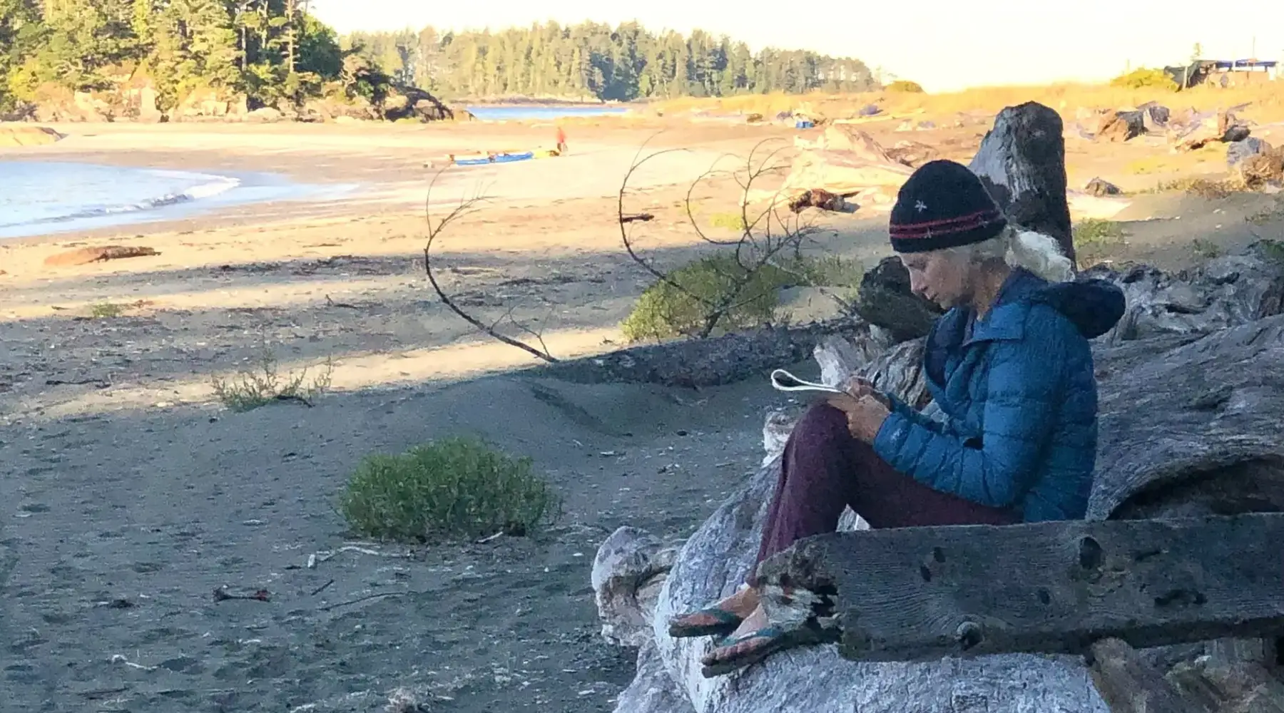
“Before heading out, I always make sure I can access an offline Google Sheet on my phone with all the details about campsites along my route. As I visit each site, I reference this to verify the accuracy of what’s on the map—checking tent site numbers, the landing and approach, freshwater availability, and more. While it’s possible to jot down notes directly in the sheet or in my phone’s notes app, I prefer pen and paper. My trip journal doubles as a log for site conditions, keeping everything in one place.”
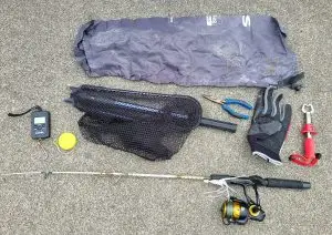
- Pencil and paper
While pencil and paper is an easy choice, consider a few things before hitting the water:
- Bringing a waterproof notebook to protect your notes from the elements.
- Recording the date and time of site visit, so you can easily match with photos down the line.
- Writing the SCR questions on the first page of your notebook for easy reference.
Printing off BCMT’s PDF SCR form — you can either fill it out directly, or use it as reference for your note taking!
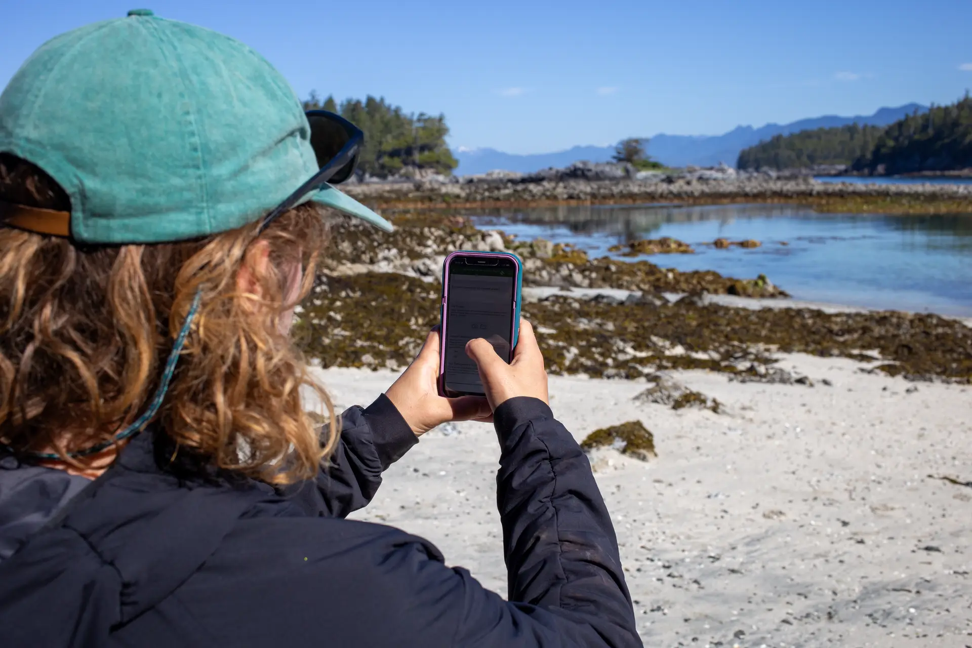
- Survey123 App
For paddlers who prefer a digital method, the Survey123 App simplifies the process of recording site conditions.
Sam Cutcliffe, BC Marine Trails’ Communications & Stewardship Coordinator, finds this method particularly efficient:

“By using the app, everything is organized and kept in one place. Your phone’s GPS inputs the location, you snap a few photos, and type in the information as you see it. The best part is once you click submit, it will automatically upload once you’re back in service! Then, you can rinse and repeat for every site you visit.”
To get started with the Survey123 app, follow the steps in the FAQ of our Site Condition Reporting Page.
- GPS devices
For longer trips or paddlers who avoid relying on smartphone batteries, GPS devices offer a solid alternative.
Cris Lewis, member of the Stewardship Committee, explains her method:
“I’m always on longer trips of 2-3 weeks, and I don’t use my smart phone because I don’t want to rely on charged batteries. Instead, I use my GPS and compass for navigation. At a Marine Trails site, I’ll press the “mark” button on my GPS to create a waypoint, and I’ll take notes in my little notebook. Alternatively, I turn on the GPS function of my camera when I take a photo, thereby capturing the coordinates along with each photo. Of course, the Survey123 app on the iPhone captures all this information at once, so I may move to that in the future as I get more comfortable with phone battery life.”
- Photos, photos, photos!
Regardless of the way you decide to record SCR data in the field, photos of your observations are incredibly helpful for the BCMT team, and your fellow paddlers. Photos showing general site context are best — the site’s approach, landing, tent sites, views, etc.
Photos of any marine debris stashes are crucial when coordinating pick-up efforts as well!
Submitting your reports
Once you’ve recorded your observations using one of the above methods, submitting them is easy. Here’s how:
- Record your observations while in the field.
- Upload your report when you’re back at home through the Survey123 app.
OR
3. Submit your Site Condition Reports directly in your computer’s browser.
We want to hear from you! If you have a reliable way of recording site conditions while off-grid, let us know in the comments or reach out so we can share your methods in the future. Together, we can keep BC’s marine trails safe, accessible, and sustainable for future generations.
Viewing Site Condition Reports on the member map
Did you know that Site Condition Reports are now visible on the member map? That’s right, you can now see the most up-to-date information possible for your trip planning! Displayed reports (shown by orange pins) will include important details on site conditions, photos, and more.
Head to the layers section of the map and toggle on ‘Site Condition Reports’ to access this feature.
By submitting your Site Condition Reports, you are directly contributing to a safer and more informed paddling community!