THE LAUNCH
THE FOUR LEGS
RESOURCES
EXPLORE
THE LAUNCH
Victoria
James Bay boat ramp is the official start of the trail but you can choose from many locations around Victoria that suit you best.
Vancouver
The other end of the trail is located at Jericho Beach close to UBC. There are many alternate locations along Vancouver’s shoreline so take your pick.
Launch sites
Due to the length of the Salish Sea Marine Trail, you may want to break it up into multiple legs. Read about the suggested routes on the Four Legs tab and choose your launch site from the many options on the member map or public map.
THE FOUR LEGS
RESOURCES
Train
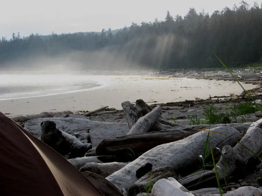
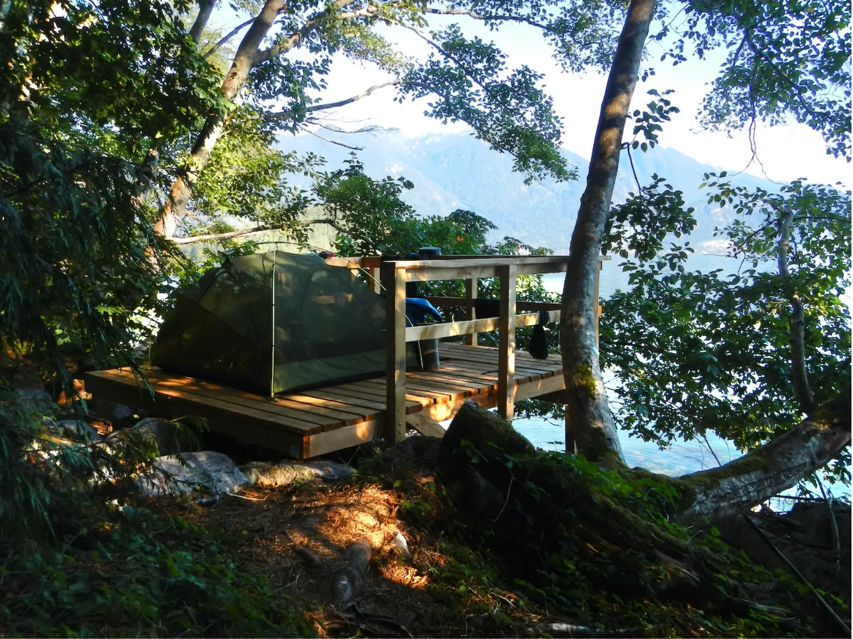
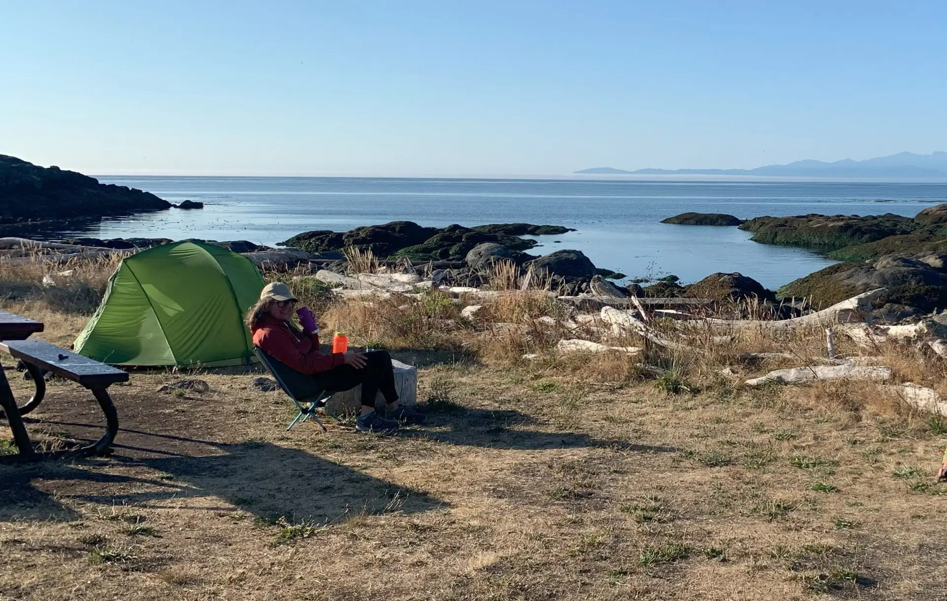
Safely explore the coast
Prepare
What to know before you go
Connect
How to communicate on a trip
EXPLORE