Arriving by Car
The Gulf Islands Marine Trail has several entry points including Nanaimo, Ladysmith, Chemainus, Maple Bay, Mill Bay, Sidney and Saanich or you can travel to one of the main Gulf Islands.
Horseshoe Bay to Nanaimo: This BC ferry route takes ~1.5 hours. Consider launching into the north end of the Gulf Islands Marine Trail from Brechin boat ramp or nearby launches.
Tsawwassen to Swartz Bay: This BC ferry route takes ~1.5 hours. Consider walking on and launching at the nearby Government Dock or drive to various launches.
Tsawwassen to Duke Point: This BC ferry route takes ~2 hours. Access Nanaimo or Ladysmith launches within a half hour of traveling.
Tsawwassen or Crofton to Salt Spring Island: You can reach Salt Spring Island by ferry both from Tsawwassen and Crofton on Vancouver Island. Salt Spring Island has several launches into the Gulf Islands.
Walking on BC Ferries
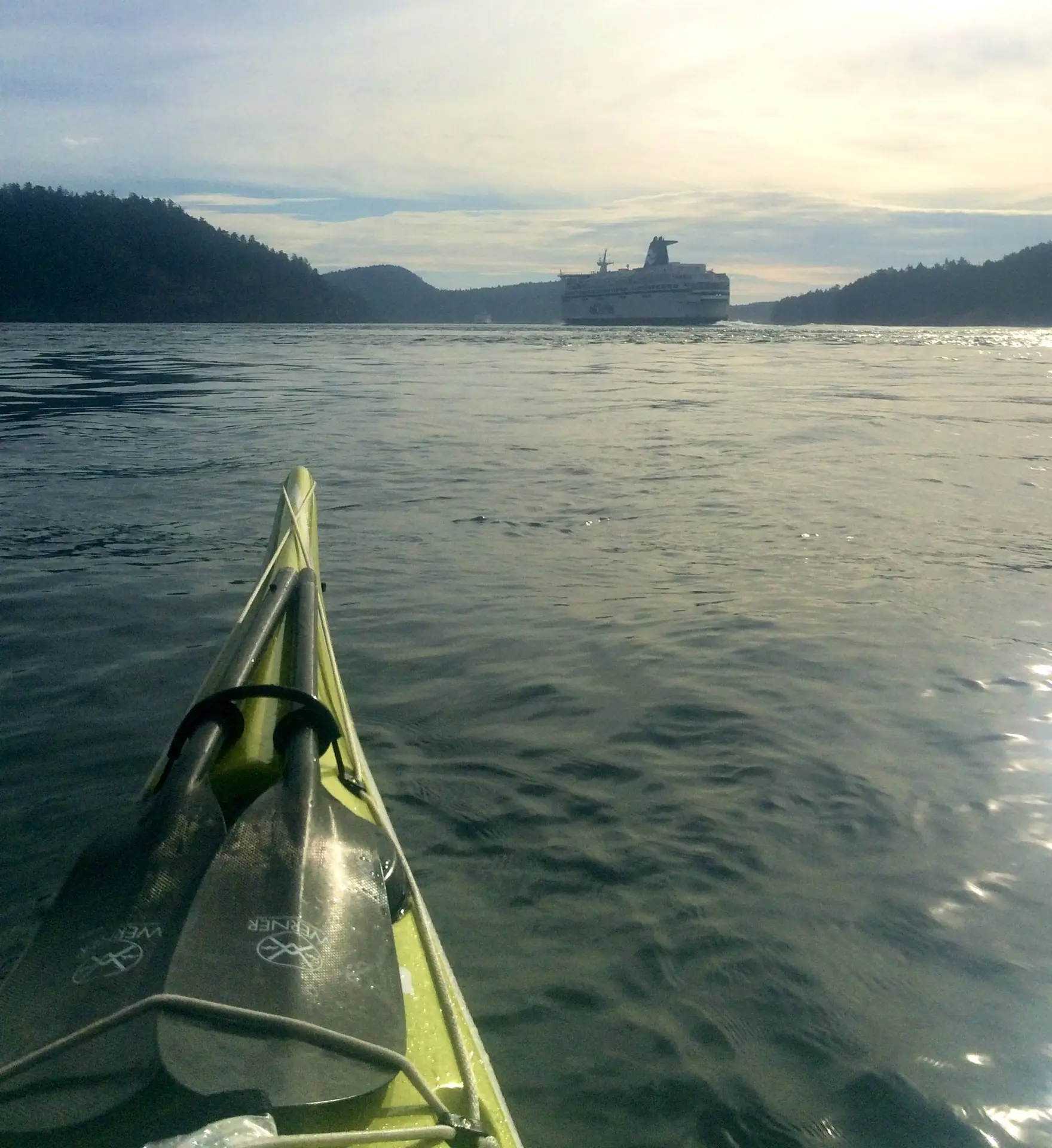
As part of the Salish Sea Marine Trail project, the BC Marine Trails Network worked with BC Ferries to identify and set protocols for paddlers to walk or wheel their craft onto BC Ferries on select routes, then walk off to launch at a strategic nearby beach. Learn more.
Launching
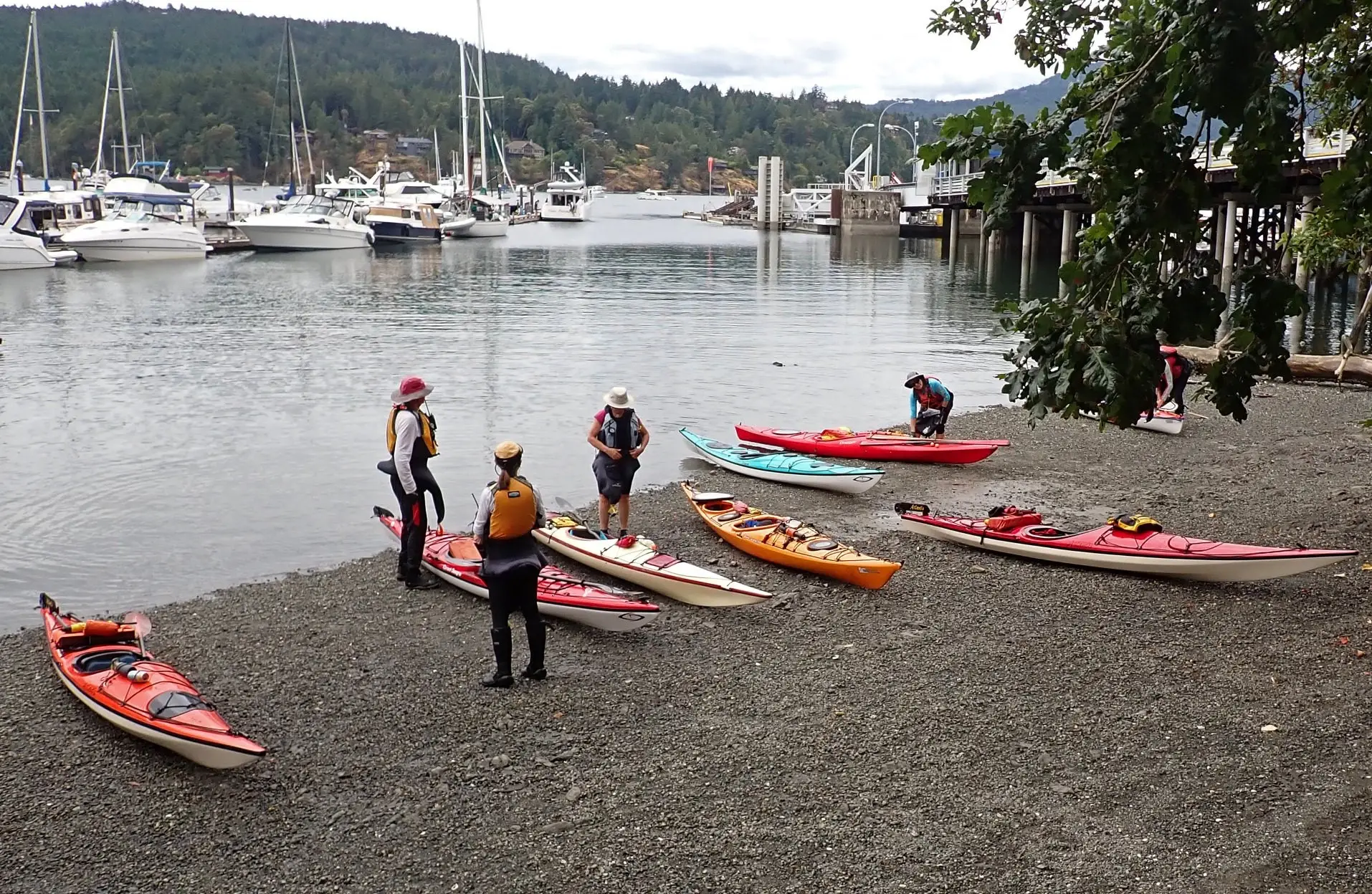
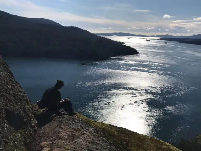
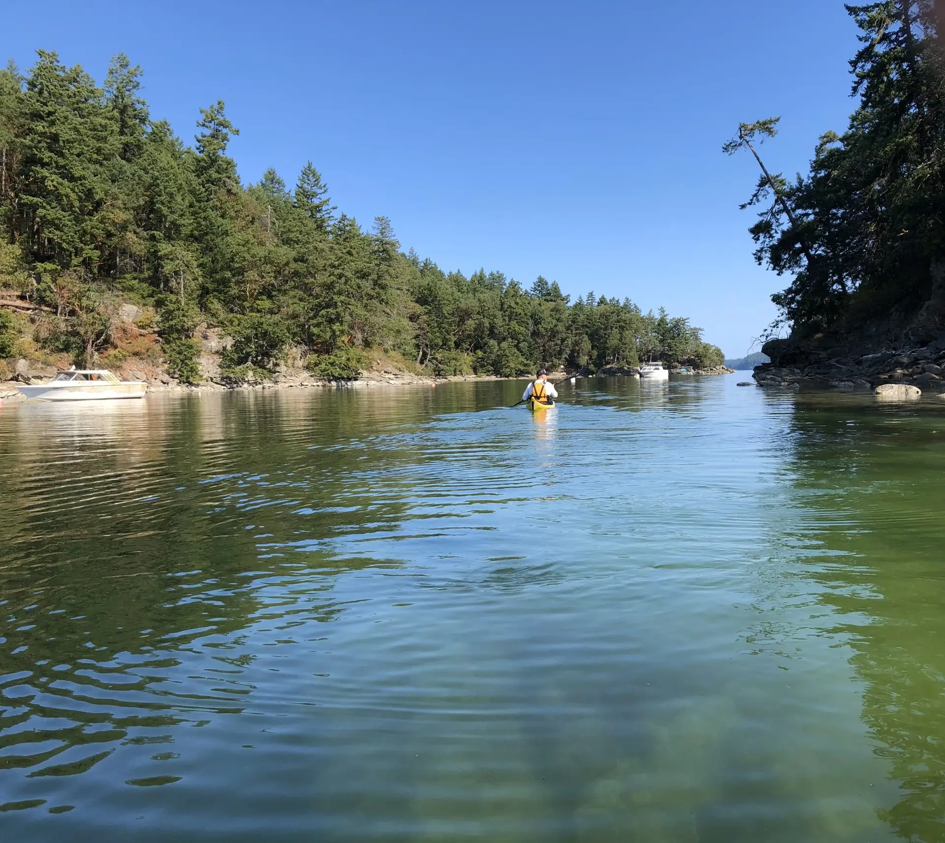
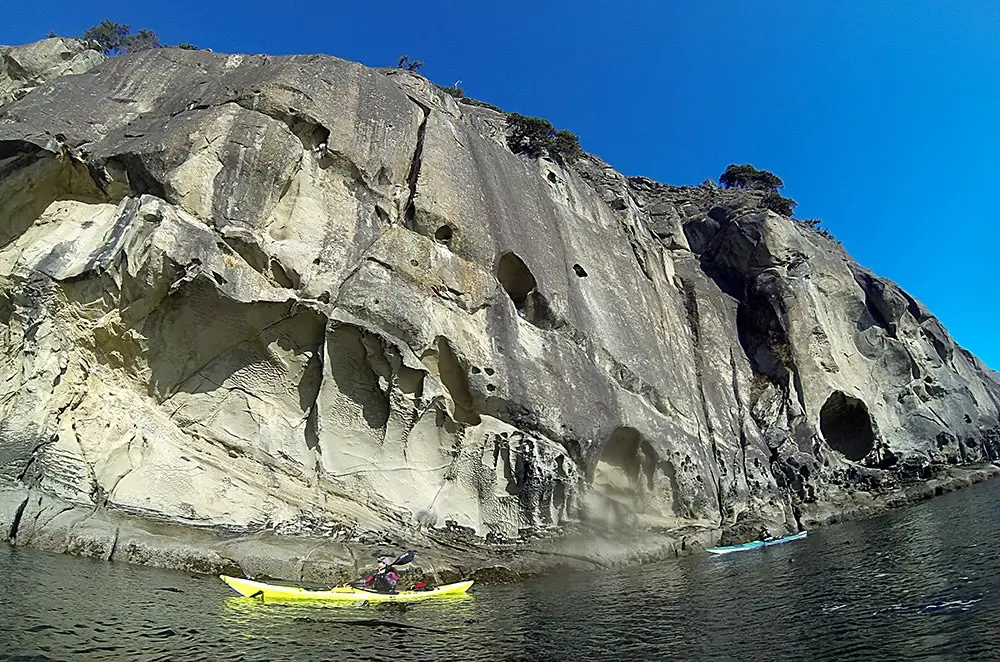
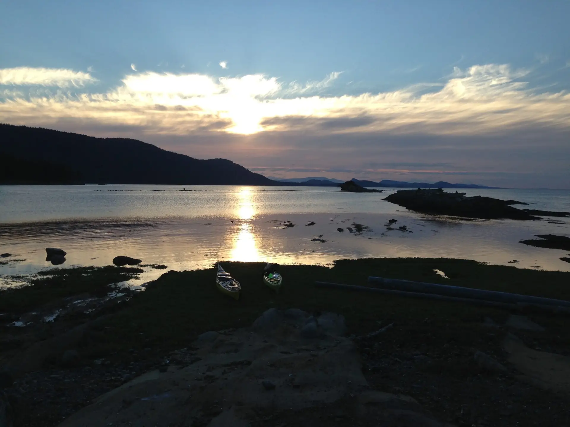
There are an abundance of launch sites within the Gulf Islands — far too many to list — refer to the BC Marine Trails map to select your ideal launch site. Most Gulf Islands offer launch sites, making the region accessible from a wide variety of start and end points.
Train
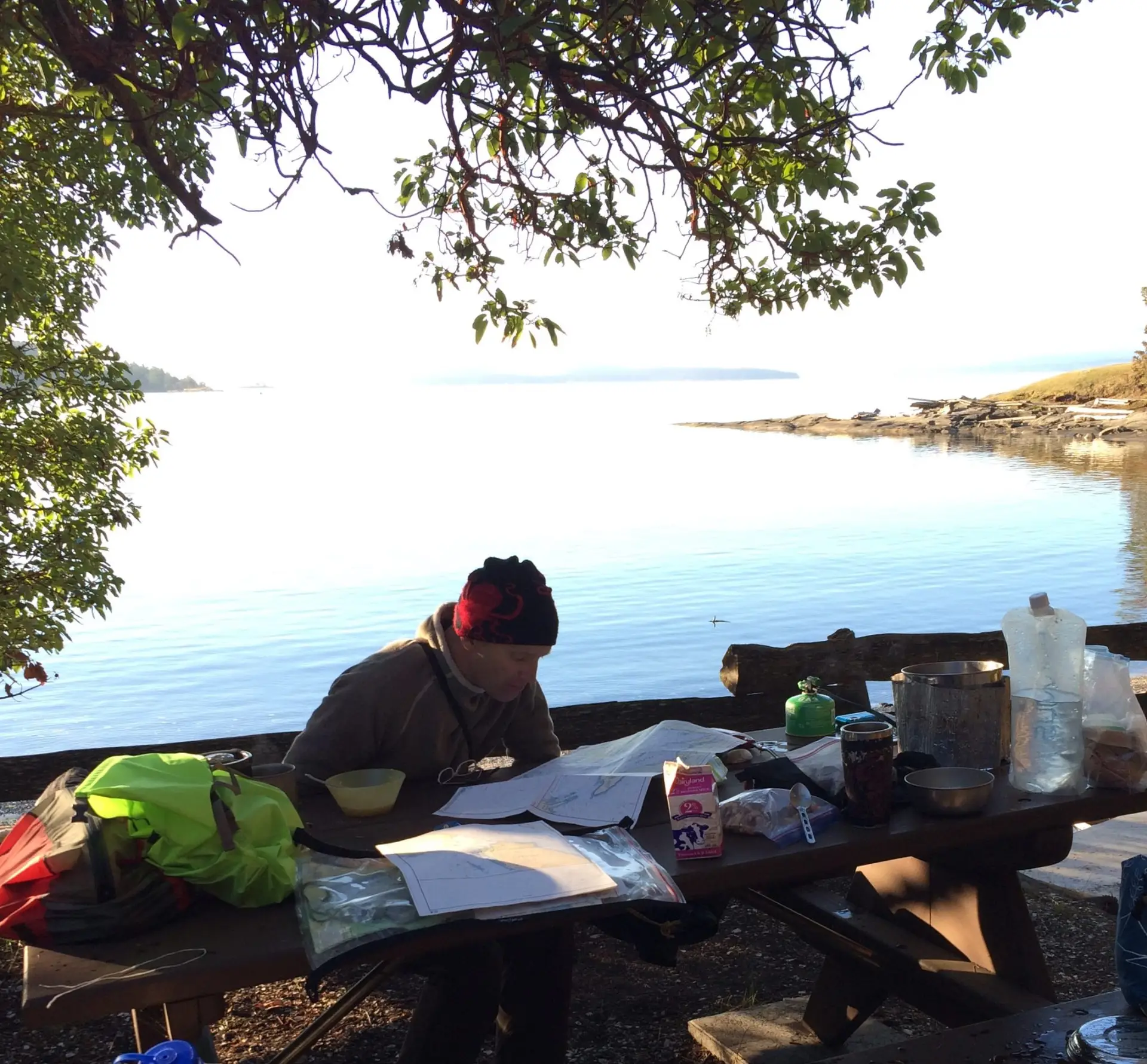
Prepare
Connect